


Leichte Tour für viel Besichtigungsprogramm
1.Tag:
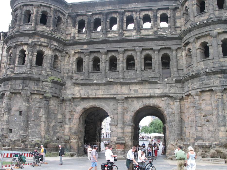
Start: Trier, die ältste Stadt Deutschlands. Aufgrund der erforderlichen Anreise war das erste Tagesziel recht kurz (35 km): Leiwen - ein beschaulicher Weinort.
2.Tag:
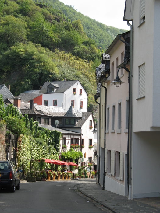
Man durchfährt Orte, wie: Trittenheim, Neumagen-Dhron (ältester Weinort Deutschlands mit Römmerweinsschiff), Pieport und Bernkastel-Kues. Nach Traben-Trabach erreichen wir unser heutiges Ziel: Enkirch (55 km)
3.Tag
DIe Strec ke verläuft über Zell - Pünderich-Bullay. WIr erreichen die Ortschaft Bremm mit dem steilsten Weinberg Europas, dem Calmont. Wir fahren durch Beistein - Cochem und stationieren nach ca.,70 km in Moselkern.
4. Tag
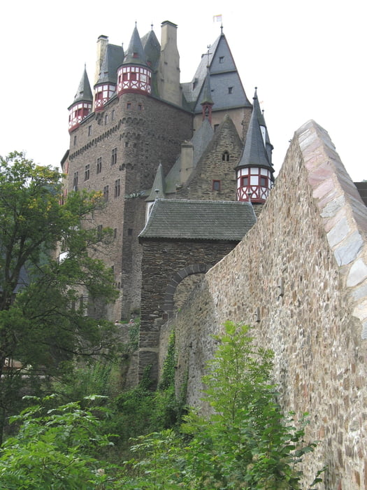
Heute sollte man auf jeden Fall einen Abstecher zur Märchenburg Eltz einbauen. Später radeln wir durch den mittelalterlichen Ort Kobern-Gondorf an steilen Weinbergen vorbei bis zum Ziel Koblenz. Wegen der bevorstehenden Abreise nur 40 km Radstrecke.
Galeria trasy
Mapa trasy i profil wysokości
Minimum height 99999 m
Maximum height -99999 m
More about the tour author
|
|
vecoliped |
Komentarze

Sowohl Trier als auch Koblenz sind sehr gut mit der Bahn zu erreichen.
GPS tracks
Trackpoints-
GPX / Garmin Map Source (gpx) download
-
TCX / Garmin Training Center® (tcx) download
-
CRS / Garmin Training Center® (crs) download
-
Google Earth (kml) download
-
G7ToWin (g7t) download
-
TTQV (trk) download
-
Overlay (ovl) download
-
Fugawi (txt) download
-
Kompass (DAV) Track (tk) download
-
Karta trasy (pdf) download
-
Original file of the author (gpx) download
More about the tour author
|
|
vecoliped |
Add to my favorites
Remove from my favorites
Edit tags
Open track
My score
Rate