Login

Zapomniałeś swój login?

Cookies have to be accepted!
Your browser's cookie functionality is disabled. Please enable this functionality.

Not a member yet?

Register now
Login

Available for registred users only

Log in to use this feature.

Zapomniałeś swój login?

Cookies have to be accepted!
Your browser's cookie functionality is disabled. Please enable this functionality.

Not a member yet?

Register now
Filter
Kategorie
Advanced filters
  • Długość (km)
  • Wysokość
Zapisz filtr Reset filter

TrackRank

QRCode

Technical data

Długość46,9 km Wysokość1082 m Way down1082 m Czas trwania03:00 h:m Data18.07.2008
Oceny Author User Krajobraz Czynnik zadowolenia Kondycja Technika

Statystyka

1702 Widoki 4 Oceny 345 Downloads / Pliki do pobrania 3.75 Przeciętnie
Rate
  • Karta trasy
  • Dojazd
  • Downloads / Pliki do pobrania

Wunderschöne Höhentour, unbedingt bei guter Fernsicht fahren!

Start und Ziel ist Heinrichsthal.

Von dort aus hoch zum Vogelsang. Ab Mosebolle durchs Nierbachtal aufwärts.

Wendepunkt der Tour ist die Höhe Bracht.

Leider hab ich keine Fotos von der Tour.

Viel Spaß beim Nachfahren!

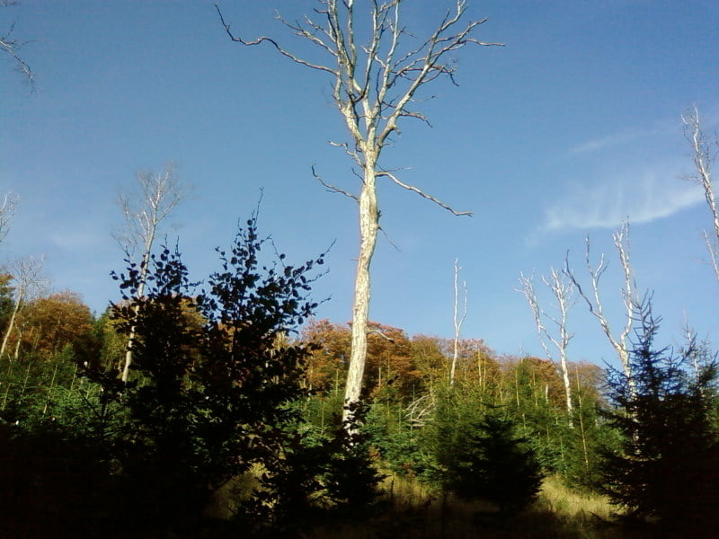
ich bin Tour am 10.10.08 noch einmal gefahren und ein paar Fotos gemacht.

Galeria trasy

Mapa trasy i profil wysokości

  • Open Street Map
  • Google
Minimum height 265 m Maximum height 675 m Widok szczegółowy

More about the tour author

Herbert1950
Member since 2008

Send private message

Komentarze

GPS tracks

Trackpoints
  • GPX / Garmin Map Source (gpx) download
  • TCX / Garmin Training Center® (tcx) download
  • CRS / Garmin Training Center® (crs) download
  • Google Earth (kml) download
  • G7ToWin (g7t) download
  • TTQV (trk) download
  • Overlay (ovl) download
  • Fugawi (txt) download
  • Kompass (DAV) Track (tk) download
  • Karta trasy (pdf) download
  • Original file of the author (gpx) download

More about the tour author

Herbert1950
Member since 2008

Send private message
Share track
Add to my favorites
Remove from my favorites
Edit tags
My score
Rate
Trasa: Panoramatour
Rodzaj: Rower górski (MTB)
Długość: 46,9 km
Evaluated on:
Czas trwania:
Day(s)
Hour(s)
Minute(s)
Ocena: Krajobraz Czynnik zadowolenia Kondycja Technika