


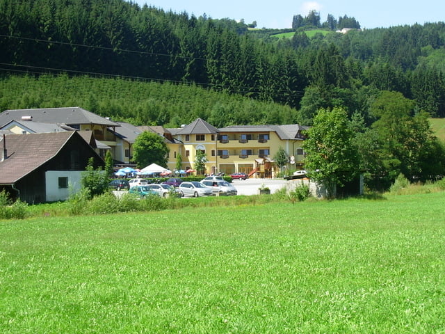
Ausgangspunkt dieser wunderschönen Wanderung ist Grein. Gegenüber der Schiffanlegestelle beginnt der gut beschilderte Weg.
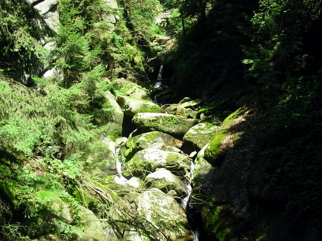
Sehenswert ist in Grein das historische Stadttheater und das Schloß Greinburg. Der Klammeingang befindet sich ca. 3 km. weiter stromabwärts bei der Gießenbachmühle. Durch die Klamm geht es auf gut gesicherten Wegen, welche durchaus auch mit Kinder zu bewältigen sind.
Am oberen Klammende haben wir noch einen kurzen Abstecher zur Aumühle gemacht, wo wir uns mit einer kleinen Jause gestärkt haben.
Zurück nach Grein ging es dann auf dem Höhenwanderweg Nummer 7.
Galeria trasy


Mapa trasy i profil wysokości
Minimum height 227 m
Maximum height 527 m
More about the tour author

|
Manfred007 |
Komentarze

GPS tracks
Trackpoints-
GPX / Garmin Map Source (gpx) download
-
TCX / Garmin Training Center® (tcx) download
-
CRS / Garmin Training Center® (crs) download
-
Google Earth (kml) download
-
G7ToWin (g7t) download
-
TTQV (trk) download
-
Overlay (ovl) download
-
Fugawi (txt) download
-
Kompass (DAV) Track (tk) download
-
Karta trasy (pdf) download
-
Original file of the author (gpx) download
More about the tour author
|
|
Manfred007 |
Add to my favorites
Remove from my favorites
Edit tags
Open track
My score
Rate