Login

Zapomniałeś swój login?

Cookies have to be accepted!
Your browser's cookie functionality is disabled. Please enable this functionality.

Not a member yet?

Register now
Login

Available for registred users only

Log in to use this feature.

Zapomniałeś swój login?

Cookies have to be accepted!
Your browser's cookie functionality is disabled. Please enable this functionality.

Not a member yet?

Register now
Filter
Kategorie
Advanced filters
  • Długość (km)
  • Wysokość
Zapisz filtr Reset filter

TrackRank

QRCode

Technical data

Długość135,1 km Wysokość296 m Way down330 m Czas trwania10:00 h:m Data23.07.2008
Oceny Author Krajobraz Czynnik zadowolenia Kondycja Technika

Statystyka

273 Widoki Oceny 33 Downloads / Pliki do pobrania Przeciętnie
Rate
  • Karta trasy
  • Dojazd
  • Downloads / Pliki do pobrania
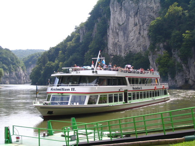
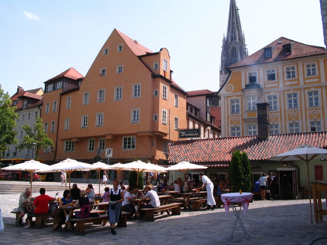
Schöner abwechslungsreicher Radweg, hatte das Glück auf den Teilstück Ingostadt Weltenburg einen ortskundigen Tourenfahrer zu treffen und wir fuhren gemeinsam die meiste Zeit neben der Donau bis Weltenburg, der Offizielle Radweg geht nicht immer neben der Donau. Ein besonderes Erlebnis ist der Donaudurchbruch mit dem Schiff von Weltenburg nach Kelheim, Fahrtdauer 20 Min. Der Rest bis Wörth über Regensburg ist flach und schön zu fahren.
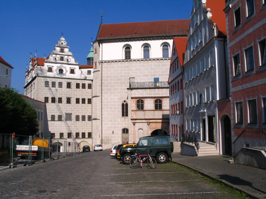
Galeria trasy

Mapa trasy i profil wysokości

  • Open Street Map
  • Google
Minimum height 326 m Maximum height 396 m Widok szczegółowy

More about the tour author

izebor
Member since 2008

Send private message

Komentarze

GPS tracks

Trackpoints
  • GPX / Garmin Map Source (gpx) download
  • TCX / Garmin Training Center® (tcx) download
  • CRS / Garmin Training Center® (crs) download
  • Google Earth (kml) download
  • G7ToWin (g7t) download
  • TTQV (trk) download
  • Overlay (ovl) download
  • Fugawi (txt) download
  • Kompass (DAV) Track (tk) download
  • Karta trasy (pdf) download
  • Original file of the author (gpx) download

More about the tour author

izebor
Member since 2008

Send private message
Share track
Add to my favorites
Remove from my favorites
Edit tags
My score
Rate
Trasa: Von Laisacker bei Neuburg nach Wörth
Rodzaj: Rower trekkingowy
Długość: 135,1 km
Evaluated on:
Czas trwania:
Day(s)
Hour(s)
Minute(s)
Ocena: Krajobraz Czynnik zadowolenia Kondycja Technika