Login

Zapomniałeś swój login?

Cookies have to be accepted!
Your browser's cookie functionality is disabled. Please enable this functionality.

Not a member yet?

Register now
Login

Available for registred users only

Log in to use this feature.

Zapomniałeś swój login?

Cookies have to be accepted!
Your browser's cookie functionality is disabled. Please enable this functionality.

Not a member yet?

Register now
Filter
Kategorie
Advanced filters
  • Długość (km)
  • Wysokość
Zapisz filtr Reset filter

TrackRank

QRCode

Technical data

Długość356,9 km Wysokość2453 m Way down2469 m Czas trwania21:00 h:m Data25.07.2008
Oceny Author Krajobraz Czynnik zadowolenia Kondycja Technika

Statystyka

1051 Widoki 1 Ocena 257 Downloads / Pliki do pobrania 4.00 Przeciętnie
Rate
  • Karta trasy
  • Dojazd
  • Downloads / Pliki do pobrania

Wir haben die Radtour in 7 Abschnitte aufgeteilt :

1. Aalen - Schwäbisch Hall (65.4 km)

2. Schwäbisch Hall - Sindringen (54.1 km)

3. Sindringen - Heilbronn (45.4 km)

4. Heilbronn - Jagsthausen (52.5 km)

5. Jagsthausen - Langenburg (53.2 km)

6. Langenburg - Randenweiler (47.2 km)

7. Randenweiler - Aalen (37.6 km)


Further information at
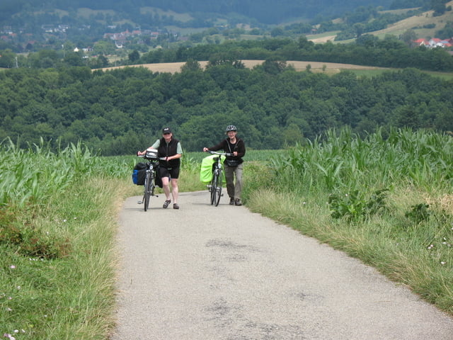
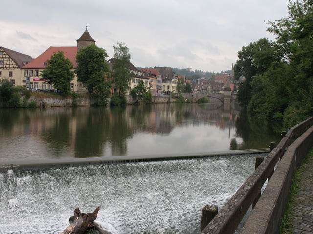
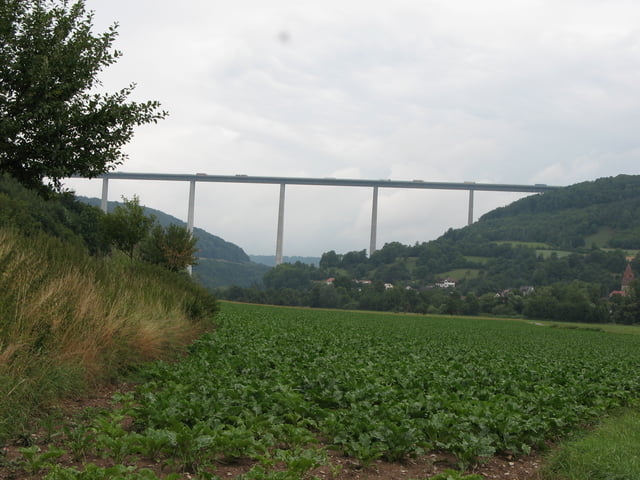
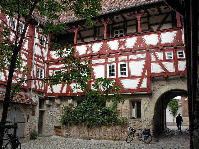
http://www.kocher-jagst.de

Galeria trasy

Mapa trasy i profil wysokości

  • Open Street Map
  • Google
Minimum height 147 m Maximum height 516 m Widok szczegółowy

More about the tour author

bellenhaus
Member since 2006

Send private message

Komentarze

Auf die A7 bis Abfahrt Aalen/Westhausen,

dann auf die B 29 Richtung bis  Oberalfingen,

bei Oberalfingen die Landstraße  L1029 bis Aalen.


GPS tracks

Trackpoints
  • GPX / Garmin Map Source (gpx) download
  • TCX / Garmin Training Center® (tcx) download
  • CRS / Garmin Training Center® (crs) download
  • Google Earth (kml) download
  • G7ToWin (g7t) download
  • TTQV (trk) download
  • Overlay (ovl) download
  • Fugawi (txt) download
  • Kompass (DAV) Track (tk) download
  • Karta trasy (pdf) download
  • Original file of the author (gpx) download

More about the tour author

bellenhaus
Member since 2006

Send private message
Share track
Add to my favorites
Remove from my favorites
Edit tags
My score
Rate
Trasa: Kocher-Jagst Radtour 2008
Rodzaj: Trasy rowerowe
Długość: 356,9 km
Evaluated on:
Czas trwania:
Day(s)
Hour(s)
Minute(s)
Ocena: Krajobraz Czynnik zadowolenia Kondycja Technika