


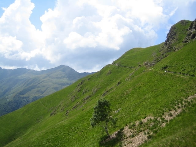
Einstieg von Domaso Camping führt die Tour mit leichter Variation entlang der Kompass-Bike-Route. In Consiglia di Rumo sollte die Tour evt. leicht nachkorrigiert werden, um ein steiles Teilstück zu umgehen (Schiebepassage). Die Auffahrt erfolgt sonst überwiegend im Baumschatten auf Teer, dann im offenen Gelände auf ca.3m breiten Wanderwegen (Schotter). Rast-/Versorgungsstationen: Rif. Mottafoida und unter dem Mt. Marmontana das Rif. Jorio
lange Abfahrt über tolle, allerdings teils steinige (lose) Trails (Technik) bis Grastrails durch das Begua (?) Tal nach Garzeno.
Gute Tagestour bei Windflaute :-)
Galeria trasy


Mapa trasy i profil wysokości
Minimum height 206 m
Maximum height 1981 m
More about the tour author

|
girion |
Komentarze

GPS tracks
Trackpoints-
GPX / Garmin Map Source (gpx) download
-
TCX / Garmin Training Center® (tcx) download
-
CRS / Garmin Training Center® (crs) download
-
Google Earth (kml) download
-
G7ToWin (g7t) download
-
TTQV (trk) download
-
Overlay (ovl) download
-
Fugawi (txt) download
-
Kompass (DAV) Track (tk) download
-
Karta trasy (pdf) download
-
Original file of the author (gpx) download
More about the tour author
|
|
girion |
Add to my favorites
Remove from my favorites
Edit tags
Open track
My score
Rate