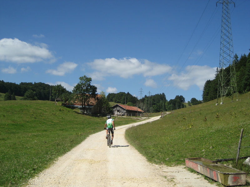
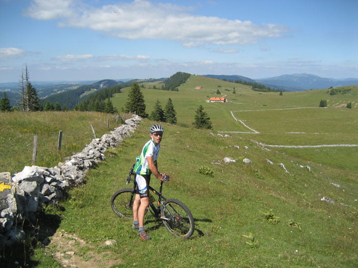
Von VAlangin, nehmen Sie Feld und Single track im "Chanet Wald". Nachher, machen Sie ein Aufstiege bis la Grand Sagneule auf Schotter und Asphalt. Es gibt ein kleine Trage bis Mont Racine Kamm.
SIe folgen Mont Racine Kalm auf Feld und Single Track. Es gibt sehr schöne Panorama.
Bis Tête de Ran Restaurant, nehmen sie ein grosse Abfahrte auf Single Track, Schotter und Asphalt bis Valangin.
Galeria trasy
Mapa trasy i profil wysokości
Minimum height 687 m
Maximum height 1484 m
Komentarze

Valangin, neben von Neuchatel
GPS tracks
Trackpoints-
GPX / Garmin Map Source (gpx) download
-
TCX / Garmin Training Center® (tcx) download
-
CRS / Garmin Training Center® (crs) download
-
Google Earth (kml) download
-
G7ToWin (g7t) download
-
TTQV (trk) download
-
Overlay (ovl) download
-
Fugawi (txt) download
-
Kompass (DAV) Track (tk) download
-
Karta trasy (pdf) download
-
Original file of the author (gpx) download
Add to my favorites
Remove from my favorites
Edit tags
Open track
My score
Rate


