

Die Tour ist ca. 190km lang und geht in Blankenstein ( Saale ) über den Rennsteig - Höhenweg des Thüringer Waldes nach Hörschel ( Werra ).
Die Tour geht an sehr vielen Höhepunkte des Rennsteiges vorbei.
Erste Tag bis Oberhof zweite Tag bis Höschel.
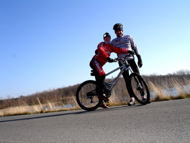
Es ist die Nutzung eines Moutenbike zu empfehlen.
Üernachtung in Oberhof Naturfreundehaus war gut.
Zellaer Straße 48
98559 Oberhof
Telefon:0368422810
Es soll ein keiner Stein von der Saale zur Werra gebracht werden.
Ich kenne Leute die sind die Tour in einem Tag hin und zurück gefahren.......Hut ab !!!
Further information at
http://www.naturfreundehaus-oberhof.deGaleria trasy

Mapa trasy i profil wysokości
Minimum height 204 m
Maximum height 982 m
More about the tour author
|
|
wing1 |
Komentarze

Höschel ist gut zu erreichen über die A9.
In Hörschel ist ein Parkplatz gleich links in dem Ort an der Saale.
GPS tracks
Trackpoints-
GPX / Garmin Map Source (gpx) download
-
TCX / Garmin Training Center® (tcx) download
-
CRS / Garmin Training Center® (crs) download
-
Google Earth (kml) download
-
G7ToWin (g7t) download
-
TTQV (trk) download
-
Overlay (ovl) download
-
Fugawi (txt) download
-
Kompass (DAV) Track (tk) download
-
Karta trasy (pdf) download
-
Original file of the author (gpx) download
More about the tour author
|
|
wing1 |
Add to my favorites
Remove from my favorites
Edit tags
Open track
My score
Rate