


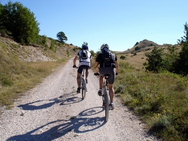
Se non avete paura di stare 5 ore in sella ed arrivare a 1820 metri di quota (partendo da 570) dovete fare questo giro per la grandiosità e bellezza dei luoghi che tocca. Partendo dal lago di Fiastra si arriva a Pintura di Bolognola passando per Podalla, gli altopiani di Ragnolo, S.M. Maddalena. Da qui, con fatica, si arriva al punto più alto (Passo del Fargno) e dopo breve discesa, girando a dx, al Casale Gasparri da dove inizia (il sentiero è sul lato destro della valle) la lunga discesa nel bosco dove scorre il Rio Sacro. Un breve tragitto di asfalto ci riporta a S.Lorenzo al Lago da dove abbiamo iniziato.
Further information at
http://www.sibillini-mtb.itGaleria trasy


Mapa trasy i profil wysokości
Minimum height 578 m
Maximum height 1821 m
More about the tour author
|
|
barbonis |
Komentarze
GPS tracks
Trackpoints-
GPX / Garmin Map Source (gpx) download
-
TCX / Garmin Training Center® (tcx) download
-
CRS / Garmin Training Center® (crs) download
-
Google Earth (kml) download
-
G7ToWin (g7t) download
-
TTQV (trk) download
-
Overlay (ovl) download
-
Fugawi (txt) download
-
Kompass (DAV) Track (tk) download
-
Karta trasy (pdf) download
-
Original file of the author (gpx) download
More about the tour author
|
|
barbonis |
Add to my favorites
Remove from my favorites
Edit tags
Open track
My score
Rate
Fargno-Rio Sacro
i did your Tour today and normally ist a wonderfull Tour.
But since the earthquake the Tour is not drivable anymore. The Problem is, that the other way around there are warnings. But not in the direction of the Tour. So i can only warn to do the Tour until local authorities open the path again. If somebody needs pictures, I´ll send him.
Best Regards
Knut