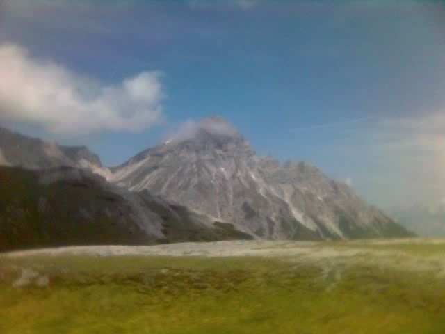
am Beginn eine sehr steile, asphaltierte Straße; ab dem Gatter durchwegs guter Schotter- (Forst-)weg; oberhalb der Waldgrenze dann etwas gröberer Schotter; nicht sehr schwere, eher leicht ansteigende Strecke
Galeria trasy
Mapa trasy i profil wysokości
Minimum height 1231 m
Maximum height 2170 m
Komentarze

A13 (Brennerautobahn) - Ausfahrt Matrei am Brenner - Richtung Steinach am Brenner weiterfahren - in Steinach rechts in Richtung Trins/Gschnitz fahren - in Trins parken und rechts (taleinwärts gesehen) der Straße den asphaltierten, sehr steilen Weg hinauf
GPS tracks
Trackpoints-
GPX / Garmin Map Source (gpx) download
-
TCX / Garmin Training Center® (tcx) download
-
CRS / Garmin Training Center® (crs) download
-
Google Earth (kml) download
-
G7ToWin (g7t) download
-
TTQV (trk) download
-
Overlay (ovl) download
-
Fugawi (txt) download
-
Kompass (DAV) Track (tk) download
-
Karta trasy (pdf) download
-
Original file of the author (gpx) download
Add to my favorites
Remove from my favorites
Edit tags
Open track
My score
Rate


