Login

Zapomniałeś swój login?

Cookies have to be accepted!
Your browser's cookie functionality is disabled. Please enable this functionality.

Not a member yet?

Register now
Login

Available for registred users only

Log in to use this feature.

Zapomniałeś swój login?

Cookies have to be accepted!
Your browser's cookie functionality is disabled. Please enable this functionality.

Not a member yet?

Register now
Filter
Kategorie
Advanced filters
  • Długość (km)
  • Wysokość
Zapisz filtr Reset filter

TrackRank

QRCode

Technical data

Długość317,2 km Wysokość2638 m Way down2658 m Czas trwania19:07 h:m Data28.08.2008
Oceny Author User Krajobraz Czynnik zadowolenia Kondycja Technika

Statystyka

2512 Widoki 1 Ocena 269 Downloads / Pliki do pobrania 4.00 Przeciętnie
Rate
  • Karta trasy
  • Dojazd
  • Downloads / Pliki do pobrania

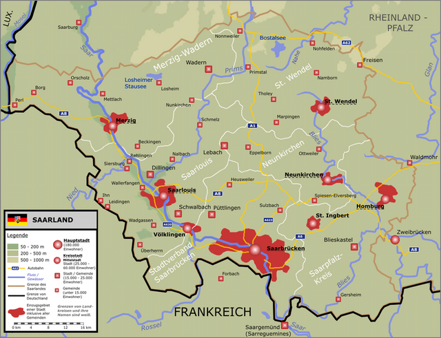
Mehrtagestour an der Außengrenze des Saarlandes- Gesamtsrecke ca. 360 km

es fehlt bei dieser Route die Strecke von Niedaltdorf über Perl / Nennig bis Tettingen-Butzdorf !

wegen aktuellen Baustellen (23.08.08) einige Umleitungen die gut ausgeschildert waren bis auf den Bereich Nonnweiler

- Stausee wo am Parkplatz Hunnenring die Wegweiser durch die dort arbeitenden Firmen demontiert wurden


Further information at

http://www.tourismus.saarland.de/urlaubsfinder/aktivurlaub/496_DEU_tzs.php

Mapa trasy i profil wysokości

  • Open Street Map
  • Google
Minimum height 159 m Maximum height 588 m Widok szczegółowy

More about the tour author

flyck
Member since 2008

Send private message

Komentarze

GPS tracks

Trackpoints
  • GPX / Garmin Map Source (gpx) download
  • TCX / Garmin Training Center® (tcx) download
  • CRS / Garmin Training Center® (crs) download
  • Google Earth (kml) download
  • G7ToWin (g7t) download
  • TTQV (trk) download
  • Overlay (ovl) download
  • Fugawi (txt) download
  • Kompass (DAV) Track (tk) download
  • Karta trasy (pdf) download
  • Original file of the author (gpx) download

More about the tour author

flyck
Member since 2008

Send private message
Share track
Add to my favorites
Remove from my favorites
Edit tags
My score
Rate
Trasa: Saarland - Radweg Teilstrecke
Rodzaj: Trasy rowerowe
Długość: 317,2 km
Evaluated on:
Czas trwania:
Day(s)
Hour(s)
Minute(s)
Ocena: Krajobraz Czynnik zadowolenia Kondycja Technika