


Schöne Tour, gut fahrbar in 6 Etappen, von Ludwigshafen nach Nördlingen.
Die Tour ist gut ausgeschildert, einfach den Schildern "Schwäbisch Alb Radweg" folgen. Das erste Schild steht direkt beim Bahnhof in Ludwigshafen.
Aber Achtung: Der Abstecher nach Wangen bei Göppingen (Abweichung vom Schwäbisch Alb Radweg) haben wir gemacht, um Bekannte zu besuchen. Die hatten einen Super-Tipp und haben uns einen Radweg auf einer alten Bahntrasse gezeigt. Ist mit eingebaut im Track :-)
Further information at
http://db.tourismus-bw.de/BW_Radfernwege_WegInfo_0.asp?L=200020&Sp=0&RIR=260516Galeria trasy

Mapa trasy i profil wysokości
Minimum height 297 m
Maximum height 846 m
More about the tour author

|
bodenseeler |
Komentarze

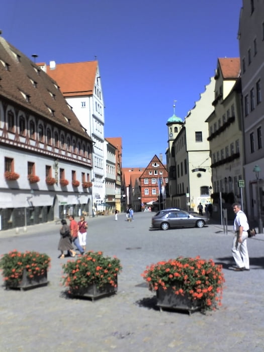
Start der Tour am Bahnhof Ludwigshafen, Ende am Bahnhof Nördlingen.
GPS tracks
Trackpoints-
GPX / Garmin Map Source (gpx) download
-
TCX / Garmin Training Center® (tcx) download
-
CRS / Garmin Training Center® (crs) download
-
Google Earth (kml) download
-
G7ToWin (g7t) download
-
TTQV (trk) download
-
Overlay (ovl) download
-
Fugawi (txt) download
-
Kompass (DAV) Track (tk) download
-
Karta trasy (pdf) download
-
Original file of the author (gpx) download
More about the tour author
|
|
bodenseeler |
Add to my favorites
Remove from my favorites
Edit tags
Open track
My score
Rate