


Ausgangspunkt: Kühtai (2017 m)
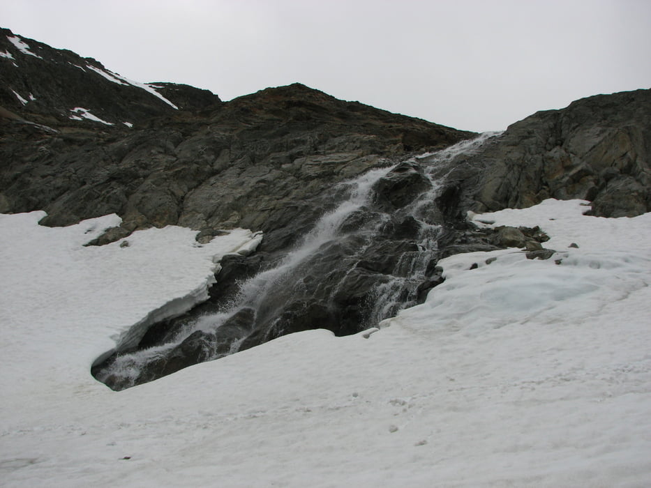
Eine Hochtour, wo man in einer dunklen, eindrucksvollen Gesteinswelt unterwegs ist. Zum Teil warten Grate und Gipfel mit bizarren Felszacken auf; die Firnfelder und -flanken mit ihrem Weiß fallen besonders ins Auge.
Der Aufstieg:
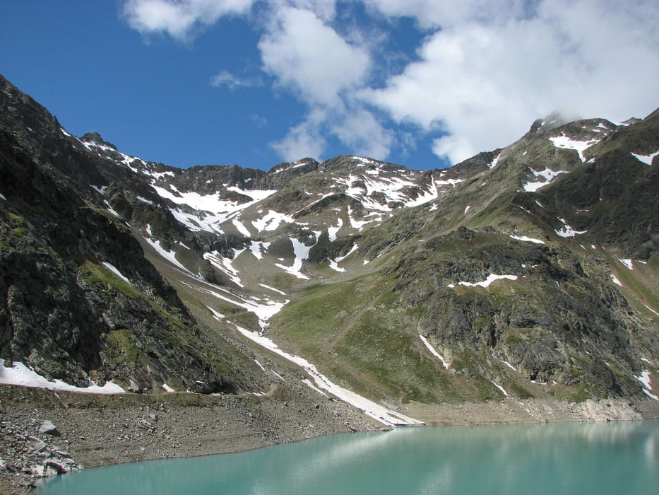
Mit dem Dreiseen-Sessellift ins Plenderlekar (2400 m), dann weiter zur Dreiseenhütte und weiter zum Staudamm des Finstertalersees. Am Ostufer entlang mit etwas Auf und Ab zum Südende der 1,7 Km langen Wasserfläche. Über die Hänge ziemlich gerade empor, dann über eine Stufe in das Becken des fast verschwundenen Gamskogelferners. In diesem Hochtal nach Westen, über Blockwerk und eine steile Stufe in die Gipfelscharte und rechts über die Trümmerhalde zum höchsten Punkt, dem Sulzkogel.
Rückweg:
Auf der gleichen Route wie der Aufstieg.Galeria trasy

Mapa trasy i profil wysokości
Minimum height 99999 m
Maximum height -99999 m
More about the tour author

|
vogelsang38 |
Komentarze

Aus dem Ötztal bei Oetz ins Sellrain nach Kühtai (25 Km).
GPS tracks
Trackpoints-
GPX / Garmin Map Source (gpx) download
-
TCX / Garmin Training Center® (tcx) download
-
CRS / Garmin Training Center® (crs) download
-
Google Earth (kml) download
-
G7ToWin (g7t) download
-
TTQV (trk) download
-
Overlay (ovl) download
-
Fugawi (txt) download
-
Kompass (DAV) Track (tk) download
-
Karta trasy (pdf) download
-
Original file of the author (gpx) download
More about the tour author
|
|
vogelsang38 |
Add to my favorites
Remove from my favorites
Edit tags
Open track
My score
Rate