


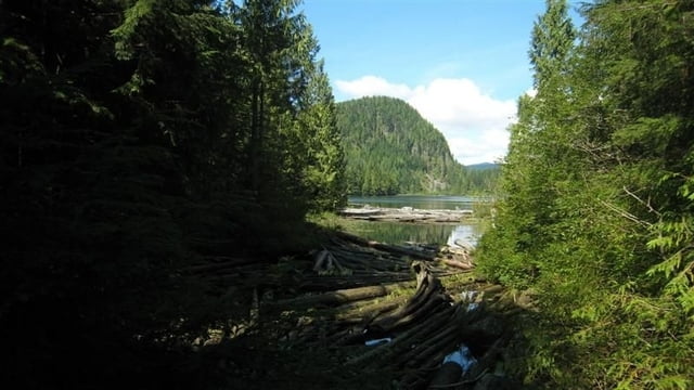
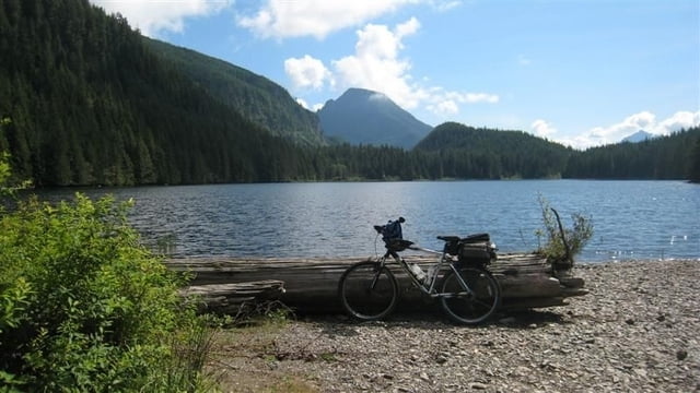
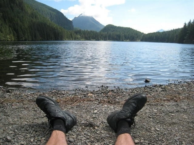
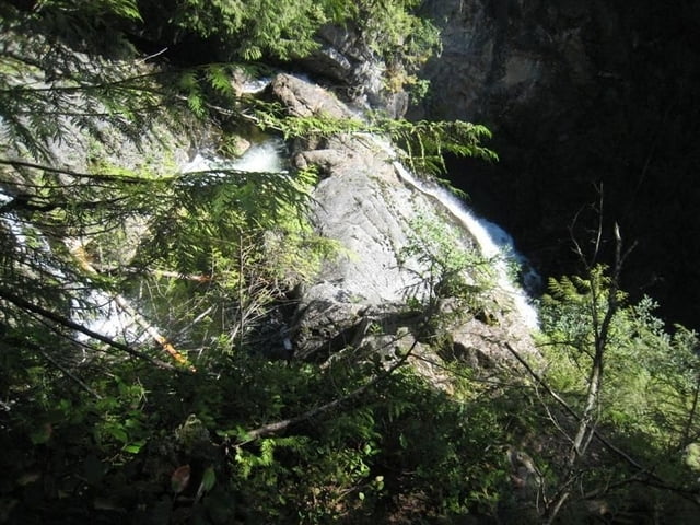
Challenging (for me) mountain bike ride. 20 miles total, some on single track trail, some on forest roads. Began at the Wallace Falls State Park parking lot located in Gold Bar, Washington. Rode first to Wallace Lake’s north shore where I had lunch on the gravel bar. Then on to Upper Wallace Falls. Part of the view was of clear cut, but it also had views of the Cascade mountains.
My GPS: Mainnav MG-950d
Galeria trasy
Mapa trasy i profil wysokości
Minimum height 95 m
Maximum height 631 m
More about the tour author
|
|
Hank |
Komentarze

Found the ride in John Zilly's Kissing the Trail, 3rd Edition, ride #25. Described as difficult, but for beginners.
GPS tracks
Trackpoints-
GPX / Garmin Map Source (gpx) download
-
TCX / Garmin Training Center® (tcx) download
-
CRS / Garmin Training Center® (crs) download
-
Google Earth (kml) download
-
G7ToWin (g7t) download
-
TTQV (trk) download
-
Overlay (ovl) download
-
Fugawi (txt) download
-
Kompass (DAV) Track (tk) download
-
Karta trasy (pdf) download
-
Original file of the author (gpx) download
More about the tour author
|
|
Hank |
Add to my favorites
Remove from my favorites
Edit tags
Open track
My score
Rate