


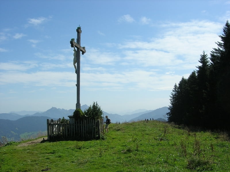
Schöne kleine Bergtour. Besonders im Sommer kühler Aufstieg durchs Alpbachtal. Auch schön im Winter.
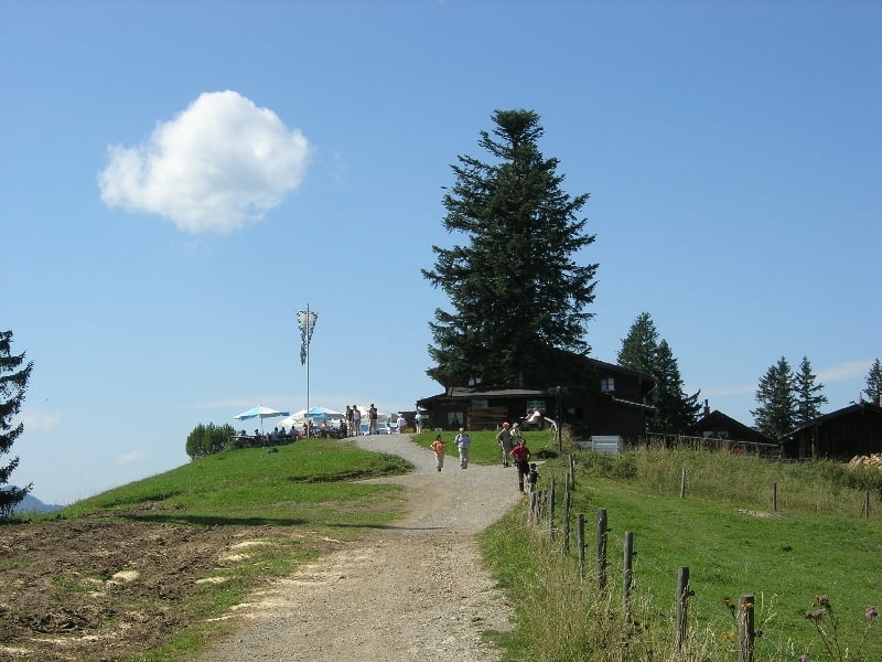
Schöne Tour ohne all zu viele Mitwanderer. Von der Gindlalmschneid über die Neureuth und nach Tegernsee natürlich ganz guter Betrieb.
Die Tour kann man auch im Winter schön machen. Bei Neuschnee braucht man dann evtl. Schneeschuhe.
Wenn es sehr nass ist, kann es vom Kreuzberg bis kurz nach der Gindlalmschneid matschig sein.
Sonst einfach zu gehen - Auf einem Fahrweg bis zum Kreuzberg, dann auf Pfaden bis zur Gindelalmschneid und später wieder auf Fahrwegen.
Further information at
http://www.tegernsee.deGaleria trasy

Mapa trasy i profil wysokości
Minimum height 540 m
Maximum height 1333 m
More about the tour author

|
smartandem |
Komentarze

Über die A8 bis Holzkirchen und dann B318 bis Tegernsee. Hier Richtung Bahnhof fahren und dort parken.
GPS tracks
Trackpoints-
GPX / Garmin Map Source (gpx) download
-
TCX / Garmin Training Center® (tcx) download
-
CRS / Garmin Training Center® (crs) download
-
Google Earth (kml) download
-
G7ToWin (g7t) download
-
TTQV (trk) download
-
Overlay (ovl) download
-
Fugawi (txt) download
-
Kompass (DAV) Track (tk) download
-
Karta trasy (pdf) download
-
Original file of the author (gpx) download
More about the tour author
|
|
smartandem |
Add to my favorites
Remove from my favorites
Edit tags
Open track
My score
Rate