


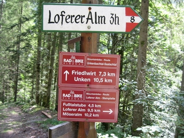
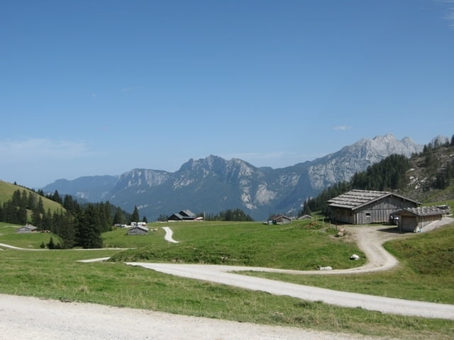
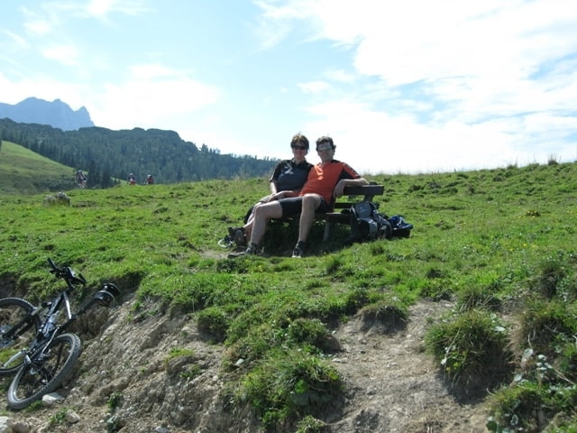
Sehr schöne Tour mit Start und Ziel in Unken. Anfangs fährt man mit leichter Steigung zum warm werden entlang des Unkenbaches bis zur Abzweigung (Brücke)wo es links hoch geht Richtung Loferer Alm. Von hier gehts mit einer angenehm fahrbaren Steigung 9,6km hoch bis zur Loferer Alm. Über Loderbichl und Lofer gehts es über den Mozart Radweg zurück nach Unken.
Tour entspricht der Pingau Rad & Bike Tour Loferer Alm Runde mit Originalstart in Lofer.
Galeria trasy

Mapa trasy i profil wysokości
Minimum height 551 m
Maximum height 1447 m
More about the tour author
|
|
Simplon_Lexx |
Komentarze
Von Deutschland, Inzell über Steinpass nach Unken, erste Ausfahrt nach der Grenze und am Ortsanfang links ist ein guter Parkplatz.
GPS tracks
Trackpoints-
GPX / Garmin Map Source (gpx) download
-
TCX / Garmin Training Center® (tcx) download
-
CRS / Garmin Training Center® (crs) download
-
Google Earth (kml) download
-
G7ToWin (g7t) download
-
TTQV (trk) download
-
Overlay (ovl) download
-
Fugawi (txt) download
-
Kompass (DAV) Track (tk) download
-
Karta trasy (pdf) download
-
Original file of the author (gpx) download
More about the tour author
|
|
Simplon_Lexx |
Add to my favorites
Remove from my favorites
Edit tags
Open track
My score
Rate
Schön, aber bergab nur Asphalt.