
")

Schöne Runde um Schiltach.
Einkehrmöglichkeiten auf dieser Runde:
Hinterholz Stube, Mosenmättle.
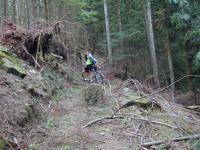
Der Weg nach der Hinterholzstube war bei uns (Sep, 2005) leider blockiert durch umgefallene Bäume. Man kann diesen Streckenabschnitt leicht umgehen, indem man der Teerstrasse noch etwas folgt und dann direkt den sog. "Hochsteig" wählt.
Einkehrmöglichkeiten auf dieser Runde:
Hinterholz Stube, Mosenmättle.
Der Weg nach der Hinterholzstube war bei uns (Sep, 2005) leider blockiert durch umgefallene Bäume. Man kann diesen Streckenabschnitt leicht umgehen, indem man der Teerstrasse noch etwas folgt und dann direkt den sog. "Hochsteig" wählt.
Galeria trasy
Mapa trasy i profil wysokości
Minimum height 330 m
Maximum height 839 m
More about the tour author

|
Komentarze

Wolfgang Schüehle
on 26.06.2006
Sehr abwechslungsreiche <tour. Die verteilung der Sterne entspricht auch meiner Einschätzung
Gestartet wird am Parkplatz Zollhaus oberhalb von Schiltach.
GPS tracks
Trackpoints-
GPX / Garmin Map Source (gpx) download
-
TCX / Garmin Training Center® (tcx) download
-
CRS / Garmin Training Center® (crs) download
-
Google Earth (kml) download
-
G7ToWin (g7t) download
-
TTQV (trk) download
-
Overlay (ovl) download
-
Fugawi (txt) download
-
Kompass (DAV) Track (tk) download
-
Karta trasy (pdf) download
-
Original file of the author (g7t) download
More about the tour author
|
|
Add to my favorites
Remove from my favorites
Edit tags
Open track
My score
Rate