
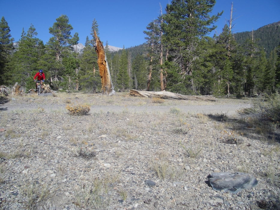

Zunächst auf Teerstrasse, dann auf Waldwegen durch lichte Kiefernwälder. Viele Jogger.
Der parallel zur Teerstrasse verlaufende Bike-Trail ist so sandig, dass man ständig stecken bleibt, also eher nicht zu empfehlen. Die kleine Runde führt um den Vulkankrater, unbedingt ansehen! Die nette Dame an der Info in Mammoth hat mich gewarnt. "many tourists got lost there". Das kommt wohl daher, dass auf allen Infos die Wege Nummern haben, diese aber fast nirgends auf Schildern auftauchen und ständig Wege nach allen Seiten abzweigen.
Further information at
http://www.rad05.deGaleria trasy

Mapa trasy i profil wysokości
Minimum height 2358 m
Maximum height 2548 m
More about the tour author
|
|
rad05 |
Komentarze

Von Bishop nach Norden dem Highway folgen, dann abbiegen nach Mammoth Lakes und am Campground Orteingang starten. Bis zur Sesselbahn gibts kostenlosen Busshuttle, witzig und photogen, lohnt sich aber für die Inyo-Tour nicht.
GPS tracks
Trackpoints-
GPX / Garmin Map Source (gpx) download
-
TCX / Garmin Training Center® (tcx) download
-
CRS / Garmin Training Center® (crs) download
-
Google Earth (kml) download
-
G7ToWin (g7t) download
-
TTQV (trk) download
-
Overlay (ovl) download
-
Fugawi (txt) download
-
Kompass (DAV) Track (tk) download
-
Karta trasy (pdf) download
-
Original file of the author (gpx) download
More about the tour author
|
|
rad05 |
Add to my favorites
Remove from my favorites
Edit tags
Open track
My score
Rate