Login

Zapomniałeś swój login?

Cookies have to be accepted!
Your browser's cookie functionality is disabled. Please enable this functionality.

Not a member yet?

Register now
Login

Available for registred users only

Log in to use this feature.

Zapomniałeś swój login?

Cookies have to be accepted!
Your browser's cookie functionality is disabled. Please enable this functionality.

Not a member yet?

Register now
Filter
Kategorie
Advanced filters
  • Długość (km)
  • Wysokość
Zapisz filtr Reset filter

TrackRank

QRCode

Technical data

Długość63,5 km Wysokość1574 m Way down1569 m Czas trwania00:00 h:m Data14.09.2008
Oceny Author Krajobraz Czynnik zadowolenia Kondycja Technika

Statystyka

1713 Widoki Oceny 413 Downloads / Pliki do pobrania Przeciętnie
Rate
  • Karta trasy
  • Dojazd
  • Downloads / Pliki do pobrania
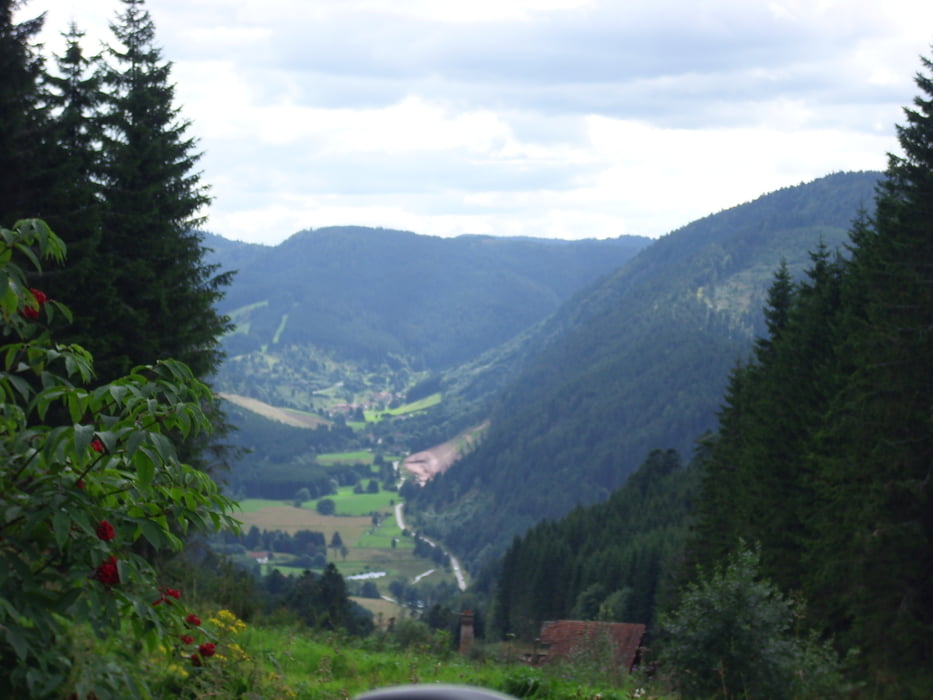
Die Tour startet am Lac du Longemer und führt über einen Berg nach Le Grand Valtin. Nun geht es links hoch zum Chemin Du Grand Boroge. Über Waldwege gehts nun ins Tal Plainfang nach Fraize. Der Weg läuft über schöne Bergsiedlungen zum Col Du Bonhomme auf die D 148 der wir nun kurz folgen, ehe wir abbiegen zur Talabfahrt nach Le Rudelin. Hier rechts ein Stück der D 23 entlang, danach links steil den Berg hoch und darüber nach Le Grand Valtin. Nun folgen wir der Straße und fahren zurück nach Longemer.

Mapa trasy i profil wysokości

  • Open Street Map
  • Google
Minimum height 510 m Maximum height 1134 m Widok szczegółowy

More about the tour author

liebendoerfer
Member since 2008

Send private message

Komentarze

GPS tracks

Trackpoints
  • GPX / Garmin Map Source (gpx) download
  • TCX / Garmin Training Center® (tcx) download
  • CRS / Garmin Training Center® (crs) download
  • Google Earth (kml) download
  • G7ToWin (g7t) download
  • TTQV (trk) download
  • Overlay (ovl) download
  • Fugawi (txt) download
  • Kompass (DAV) Track (tk) download
  • Karta trasy (pdf) download
  • Original file of the author (gpx) download

More about the tour author

liebendoerfer
Member since 2008

Send private message
Share track
Add to my favorites
Remove from my favorites
Edit tags
My score
Rate
Trasa: Tour vom Lac Longmer nach Fraize zum Col du Bonhomme und zurück
Rodzaj: Rower górski (MTB)
Długość: 63,5 km
Evaluated on:
Czas trwania:
Day(s)
Hour(s)
Minute(s)
Ocena: Krajobraz Czynnik zadowolenia Kondycja Technika