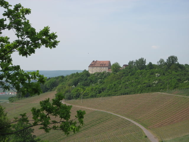
Schöne Runde mit einigen tollen Ausblicken. Technisch nur zwei anspruchsvolle Passagen: Weinbergabfahrt zu Beginn und der finale Wasserturm-Downhill. Ansonsten überwiegend Wald- und Schotterwege - gelegentlich wenig befahrene Nebenstraßen.
Viel Spaß!!!
Galeria trasy
Mapa trasy i profil wysokości
Minimum height 255 m
Maximum height 432 m
Komentarze
Start- und Endpunkt ist die Infotafel am Bahnhof Neustadt a.d. Aisch.
GPS tracks
Trackpoints-
GPX / Garmin Map Source (gpx) download
-
TCX / Garmin Training Center® (tcx) download
-
CRS / Garmin Training Center® (crs) download
-
Google Earth (kml) download
-
G7ToWin (g7t) download
-
TTQV (trk) download
-
Overlay (ovl) download
-
Fugawi (txt) download
-
Kompass (DAV) Track (tk) download
-
Karta trasy (pdf) download
-
Original file of the author (gpx) download
Add to my favorites
Remove from my favorites
Edit tags
Open track
My score
Rate


Burg Hoheneck-Panoramarunde
Gruss
Tauberblau
Burg Hoheneck-Panoramarunde
Schöne Tour mit ein paar sehr netten Stellen!
Das einzig störende war das ab KM22 fast 10Kilometer auf Asphalt zu erledigen sind. Handelt sich dabei zwar um sehr wenig Befahrene Wege, aber ist halt einfach etwas öde eine so lange Zeit fast nur gerade aus zu fahren.