Login

Zapomniałeś swój login?

Cookies have to be accepted!
Your browser's cookie functionality is disabled. Please enable this functionality.

Not a member yet?

Register now
Login

Available for registred users only

Log in to use this feature.

Zapomniałeś swój login?

Cookies have to be accepted!
Your browser's cookie functionality is disabled. Please enable this functionality.

Not a member yet?

Register now
Filter
Kategorie
Advanced filters
  • Długość (km)
  • Wysokość
Zapisz filtr Reset filter

TrackRank

QRCode

Technical data

Długość34,5 km Wysokość1232 m Way down1230 m Czas trwania02:30 h:m Data22.09.2008
Oceny Author User Krajobraz Czynnik zadowolenia Kondycja Technika

Statystyka

3793 Widoki 1 Ocena 518 Downloads / Pliki do pobrania 4.00 Przeciętnie
Rate
  • Karta trasy
  • Dojazd
  • Downloads / Pliki do pobrania

Parken in Emerlanden oder alternativ beim Wanderparkplatz Buchenstock (bei Großholzleute).

Tour am besten gegen den Uhrzeiger-Sinn (sonst Schiebepassage). Super Single Trail !!! bei der
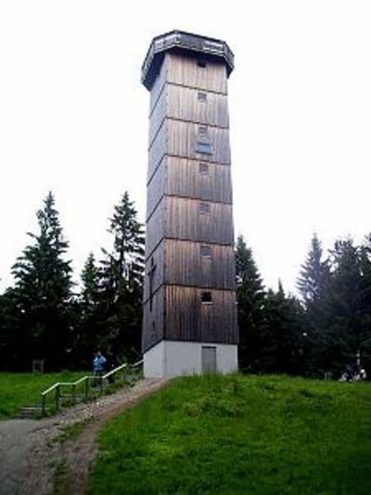
Herrenberg Alpe.

Kurze Teerpassage zwischen Rohrdorf und Wanderparkplatz Buchenstock (wenig Verkehr)


Further information at

http://de.wikipedia.org/wiki/Schwarzer_Grat

Mapa trasy i profil wysokości

  • Open Street Map
  • Google
Minimum height 722 m Maximum height 1138 m Widok szczegółowy

More about the tour author

Joggi123
Member since 2008

Send private message

Komentarze

GPS tracks

Trackpoints
  • GPX / Garmin Map Source (gpx) download
  • TCX / Garmin Training Center® (tcx) download
  • CRS / Garmin Training Center® (crs) download
  • Google Earth (kml) download
  • G7ToWin (g7t) download
  • TTQV (trk) download
  • Overlay (ovl) download
  • Fugawi (txt) download
  • Kompass (DAV) Track (tk) download
  • Karta trasy (pdf) download
  • Original file of the author (gpx) download

More about the tour author

Joggi123
Member since 2008

Send private message
Share track
Add to my favorites
Remove from my favorites
Edit tags
My score
Rate
Trasa: Kreuzleshöhe-Schwarzer Grat
Rodzaj: Rower górski (MTB)
Długość: 34,5 km
Evaluated on:
Czas trwania:
Day(s)
Hour(s)
Minute(s)
Ocena: Krajobraz Czynnik zadowolenia Kondycja Technika