

Letzte Woche konnte bei noch angenehmer Temperatur eine Ausfahrt stattfinden. Erfreulich viele Radler(innen) trafen sich, um über das Horn, Reiterstüble zur Radrennbahn nach Öschelbronn ( siehe Foto ) zu fahren. Die schnell anbrechende Dunkelheit war Anlaß, den Radtreff für dieses Jahr zu beschließen.
Es ist festzustellen, daß der Radreff in Emmingen endgültig angekommen ist, was die erfreulich große Zahl der Dauer - und Spontaneinsteiger zeigt.
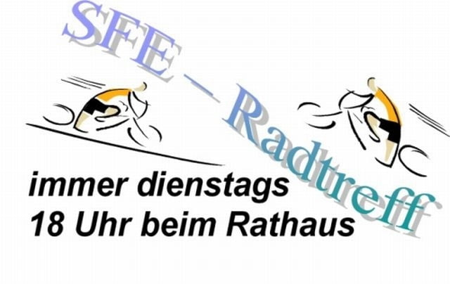
Radtreff macht (Winter)Pause
Und somit endet die Radsaison des Radtreff SFE Emmingen.
Wir werden uns im neuen Jahr nach der Uhrzeitumstellung wieder auf den Weg machen.
Bis dahin alles Gute und schöne unfallfreie winterliche Fahrt.
Galeria trasy

Mapa trasy i profil wysokości
Minimum height 446 m
Maximum height 598 m
More about the tour author
|
|
Radtreff_Emmingen |
Komentarze

GPS tracks
Trackpoints-
GPX / Garmin Map Source (gpx) download
-
TCX / Garmin Training Center® (tcx) download
-
CRS / Garmin Training Center® (crs) download
-
Google Earth (kml) download
-
G7ToWin (g7t) download
-
TTQV (trk) download
-
Overlay (ovl) download
-
Fugawi (txt) download
-
Kompass (DAV) Track (tk) download
-
Karta trasy (pdf) download
-
Original file of the author (gpx) download
More about the tour author
|
|
Radtreff_Emmingen |
Add to my favorites
Remove from my favorites
Edit tags
Open track
My score
Rate