


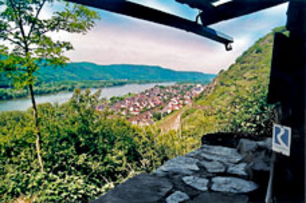
Diese Etappe hat mit "Rhein"steig nicht viel gemein. Der Rheinsteig führt nämlich recht weit ins Hinterland was eine willkommene Abwechlung ist wenn man wie wir von Bonn an eigentlich permanent am Rhein bewegt. Landschaftlich dennoch reizvoll. Ich möchte diese Tour als Tagestour empfehlen.
Zurück geht es von Koblenz Ehrenbeitstein mit der DB. Diese hält jedoch nicht unmittelbar am Ausgangspunkt. Also bitte vorher checken.
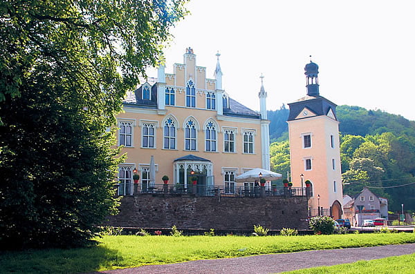
Hinweis: Die letzten Meter dieser Rheinsteigetappe gegen mitten durch die Festung Ehren Breitstein. Leider das Betreten der Burganlage aber kostenpflichtig. Wir sind außenrum gefahren!
Wie immer der Hinweis. Versucht Euch nicht mit Wanderern anzulegen. Wir wollen ja nicht, dass der Rheinsteig mal verbotene Zone für uns wird.
Solltet Ihr diese Tour nachfahren würde ich mich über Feedback und Bewertung freuen.
Anschlusstour: Tour #53813: Rheinsteig Koblenz - Kestert
Further information at
http://www.rheinsteig.de/Galeria trasy

Mapa trasy i profil wysokości
Minimum height 58 m
Maximum height 322 m
More about the tour author
|
|
dermarc |
Komentarze

GPS tracks
Trackpoints-
GPX / Garmin Map Source (gpx) download
-
TCX / Garmin Training Center® (tcx) download
-
CRS / Garmin Training Center® (crs) download
-
Google Earth (kml) download
-
G7ToWin (g7t) download
-
TTQV (trk) download
-
Overlay (ovl) download
-
Fugawi (txt) download
-
Kompass (DAV) Track (tk) download
-
Karta trasy (pdf) download
-
Original file of the author (gpx) download
More about the tour author
|
|
dermarc |
Add to my favorites
Remove from my favorites
Edit tags
Open track
My score
Rate