Login

Zapomniałeś swój login?

Cookies have to be accepted!
Your browser's cookie functionality is disabled. Please enable this functionality.

Not a member yet?

Register now
Login

Available for registred users only

Log in to use this feature.

Zapomniałeś swój login?

Cookies have to be accepted!
Your browser's cookie functionality is disabled. Please enable this functionality.

Not a member yet?

Register now
Filter
Kategorie
Advanced filters
  • Długość (km)
  • Wysokość
Zapisz filtr Reset filter

TrackRank

QRCode

Technical data

Długość29,2 km Wysokość688 m Way down681 m Czas trwania00:00 h:m Data29.09.2008
Oceny Author Krajobraz Czynnik zadowolenia Kondycja Technika

Statystyka

742 Widoki Oceny 140 Downloads / Pliki do pobrania Przeciętnie
Rate
  • Karta trasy
  • Dojazd
  • Downloads / Pliki do pobrania

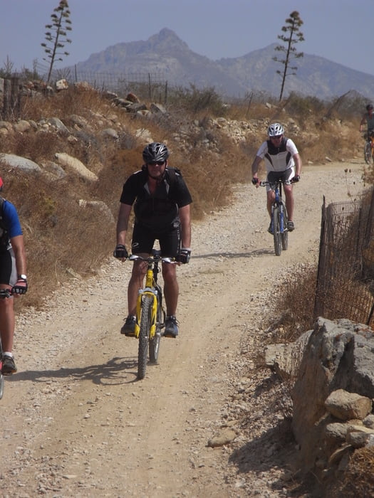
Nette Tour durch's Hinterland von Chora. Andy von der Flisvos bike station hatsich wirklich Mühe gegeben, und die besten Nebensträsschen und wenigen fahrbare trails zu dieser Tour zusammengesucht.

Am besten beim Flisvos bike-center die Tour buchen

Further information at

http://www.tourdb.info/tourdb/detail/mtb/102/naxos-hill%20valley.html

Galeria trasy

Mapa trasy i profil wysokości

  • Open Street Map
  • Google
Minimum height 10 m Maximum height 246 m Widok szczegółowy

More about the tour author

tintin
Member since 2007

Send private message

Komentarze

Start am Flisvos sports club

GPS tracks

Trackpoints
  • GPX / Garmin Map Source (gpx) download
  • TCX / Garmin Training Center® (tcx) download
  • CRS / Garmin Training Center® (crs) download
  • Google Earth (kml) download
  • G7ToWin (g7t) download
  • TTQV (trk) download
  • Overlay (ovl) download
  • Fugawi (txt) download
  • Kompass (DAV) Track (tk) download
  • Karta trasy (pdf) download
  • Original file of the author (gpx) download

More about the tour author

tintin
Member since 2007

Send private message
Share track
Add to my favorites
Remove from my favorites
Edit tags
My score
Rate
Trasa: Naxos Hill&Valley
Rodzaj: Rower górski (MTB)
Długość: 29,2 km
Evaluated on:
Czas trwania:
Day(s)
Hour(s)
Minute(s)
Ocena: Krajobraz Czynnik zadowolenia Kondycja Technika