Login

Zapomniałeś swój login?

Cookies have to be accepted!
Your browser's cookie functionality is disabled. Please enable this functionality.

Not a member yet?

Register now
Login

Available for registred users only

Log in to use this feature.

Zapomniałeś swój login?

Cookies have to be accepted!
Your browser's cookie functionality is disabled. Please enable this functionality.

Not a member yet?

Register now
Filter
Kategorie
Advanced filters
  • Długość (km)
  • Wysokość
Zapisz filtr Reset filter

TrackRank

QRCode

Technical data

Długość97,6 km Wysokość707 m Way down471 m Czas trwania05:00 h:m Data29.09.2008
Oceny Author Krajobraz Czynnik zadowolenia Kondycja Technika

Statystyka

742 Widoki Oceny 64 Downloads / Pliki do pobrania Przeciętnie
Rate
  • Karta trasy
  • Dojazd
  • Downloads / Pliki do pobrania

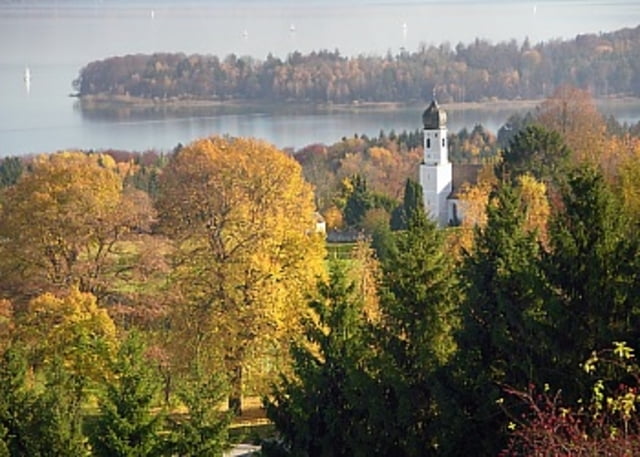
Tour von Augsburg nach Fürstenfeldbruck über Starnberg und Wolfratshausen zum Ziel Geretsried. Wir hatten ordentlich Gegenwind (Windspeed 30-40 km/h), die gefahrene Zeit ist also als relativ anzusehen. Es wird bestimmt einige geben, die diese Strecke in 4 Stunden fahren...

Die Fahrt geht größtenteils über Landstrassen, vornehmlich B2 ab Augsburg. Kleines Highlight ist die Serpentinenabfahrt am Wolfratshauser Berg.


Mapa trasy i profil wysokości

  • Open Street Map
  • Google
Minimum height 374 m Maximum height 679 m Widok szczegółowy

More about the tour author

Pointer
Member since 2008

Send private message

Komentarze

GPS tracks

Trackpoints
  • GPX / Garmin Map Source (gpx) download
  • TCX / Garmin Training Center® (tcx) download
  • CRS / Garmin Training Center® (crs) download
  • Google Earth (kml) download
  • G7ToWin (g7t) download
  • TTQV (trk) download
  • Overlay (ovl) download
  • Fugawi (txt) download
  • Kompass (DAV) Track (tk) download
  • Karta trasy (pdf) download
  • Original file of the author (gpx) download

More about the tour author

Pointer
Member since 2008

Send private message
Share track
Add to my favorites
Remove from my favorites
Edit tags
My score
Rate
Trasa: Augsburg-FFB-Starnberg-Wolfratshausen-Geretsried
Rodzaj: Rower górski (MTB)
Długość: 97,6 km
Evaluated on:
Czas trwania:
Day(s)
Hour(s)
Minute(s)
Ocena: Krajobraz Czynnik zadowolenia Kondycja Technika