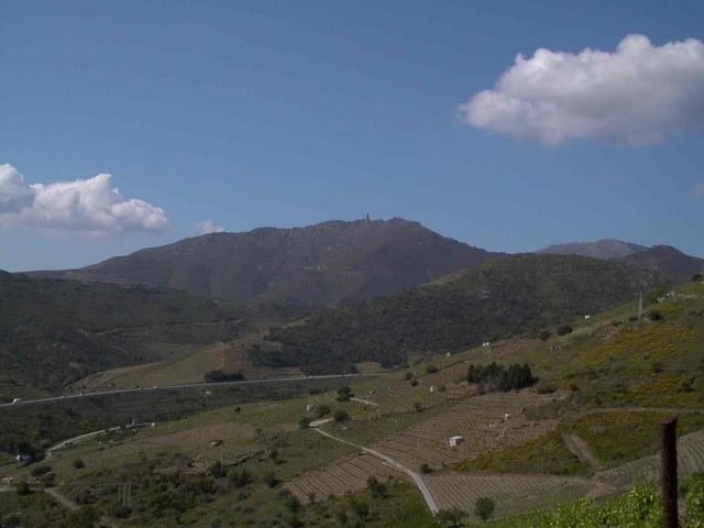
Von Port-Vendres vorbei Fort am Sainte-Elme über den Col del Mollo und der Batterie de Taillefer zum Tour de Madeloc. Dieser Gipfel bietet als erster Vorgipfel der Pyrenäen einen schönen Ausblick über das Mittelmeer und nach Perpingan sowie auf die ersten höheren Berge der Pyrenäen
Galeria trasy
Mapa trasy i profil wysokości
Minimum height 16 m
Maximum height 630 m
Komentarze

GPS tracks
Trackpoints-
GPX / Garmin Map Source (gpx) download
-
TCX / Garmin Training Center® (tcx) download
-
CRS / Garmin Training Center® (crs) download
-
Google Earth (kml) download
-
G7ToWin (g7t) download
-
TTQV (trk) download
-
Overlay (ovl) download
-
Fugawi (txt) download
-
Kompass (DAV) Track (tk) download
-
Karta trasy (pdf) download
-
Original file of the author (gpx) download
Add to my favorites
Remove from my favorites
Edit tags
Open track
My score
Rate


