Login

Zapomniałeś swój login?

Cookies have to be accepted!
Your browser's cookie functionality is disabled. Please enable this functionality.

Not a member yet?

Register now
Login

Available for registred users only

Log in to use this feature.

Zapomniałeś swój login?

Cookies have to be accepted!
Your browser's cookie functionality is disabled. Please enable this functionality.

Not a member yet?

Register now
Filter
Kategorie
Advanced filters
  • Długość (km)
  • Wysokość
Zapisz filtr Reset filter

TrackRank

QRCode

Technical data

Długość104,9 km Wysokość177 m Way down315 m Czas trwania07:58 h:m Data06.10.2008
Oceny Author Krajobraz Czynnik zadowolenia Kondycja Technika

Statystyka

3383 Widoki Oceny 425 Downloads / Pliki do pobrania Przeciętnie
Rate
  • Karta trasy
  • Dojazd
  • Downloads / Pliki do pobrania

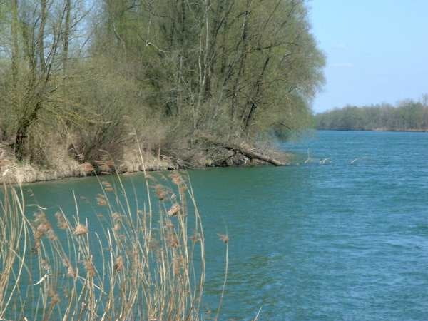
Wegen einer Umleitung mußte ich zwischen Schwaz und Strass im Zillertal von 530 üNN auf 560 üNN hinauf. Da ich ein absoluter "Genußradler" bin, hat mir das schwer gestunken.

Ab Strass s.o. ging der Weg dann meist nur noch über Wassergebundene Oberfläche.


Further information at

http://de.wikipedia.org/wiki/Inntal

Galeria trasy

Mapa trasy i profil wysokości

  • Open Street Map
  • Google
Minimum height 452 m Maximum height 671 m Widok szczegółowy

More about the tour author

peter65191
Member since 2008

Send private message

Komentarze

Die Anreise zu meiner 3 1/2 -Tages Tour habe ich mit der Bahn nach Innsbruck hinter mich gebracht.

GPS tracks

Trackpoints
  • GPX / Garmin Map Source (gpx) download
  • TCX / Garmin Training Center® (tcx) download
  • CRS / Garmin Training Center® (crs) download
  • Google Earth (kml) download
  • G7ToWin (g7t) download
  • TTQV (trk) download
  • Overlay (ovl) download
  • Fugawi (txt) download
  • Kompass (DAV) Track (tk) download
  • Karta trasy (pdf) download
  • Original file of the author (gpx) download

More about the tour author

peter65191
Member since 2008

Send private message
Share track
Add to my favorites
Remove from my favorites
Edit tags
My score
Rate
Trasa: Inntal-Radweg 1 (Innradweg) Innsbruck-Nußdorf
Rodzaj: Rower trekkingowy
Długość: 104,9 km
Evaluated on:
Czas trwania:
Day(s)
Hour(s)
Minute(s)
Ocena: Krajobraz Czynnik zadowolenia Kondycja Technika