


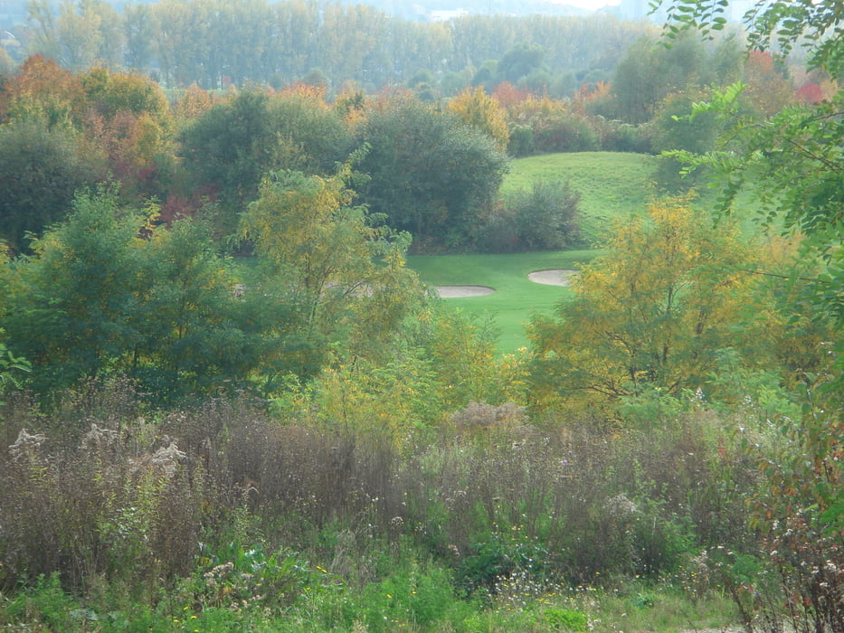
Mit dem Blick zum Hohen Asperg geht es von Freiberg a.N. über den Wilhelmshof Richtung Breuningerland. Ca. 500m vor dem Breuningerland geht es dann links ab, entlang des neuen Golfplatzes. Wir überqueren die Autobahn und kommen zum herrlichen Monrepos See. Der See wird umrundet und dann geht es weiter zum Favoritenpark. Von dort geht es wieder zurück zum Ausgangspunkt der Tour
Further information at
http://www.ludwigsburg.de/Galeria trasy


Mapa trasy i profil wysokości
Minimum height 199 m
Maximum height 277 m
More about the tour author
|
|
jok |
Komentarze

Der Start erfolgt in Freiberg a. N. beim Bonusmarkt oder an der Lugaufhalle
GPS tracks
Trackpoints-
GPX / Garmin Map Source (gpx) download
-
TCX / Garmin Training Center® (tcx) download
-
CRS / Garmin Training Center® (crs) download
-
Google Earth (kml) download
-
G7ToWin (g7t) download
-
TTQV (trk) download
-
Overlay (ovl) download
-
Fugawi (txt) download
-
Kompass (DAV) Track (tk) download
-
Karta trasy (pdf) download
-
Original file of the author (gpx) download
More about the tour author
|
|
jok |
Add to my favorites
Remove from my favorites
Edit tags
Open track
My score
Rate