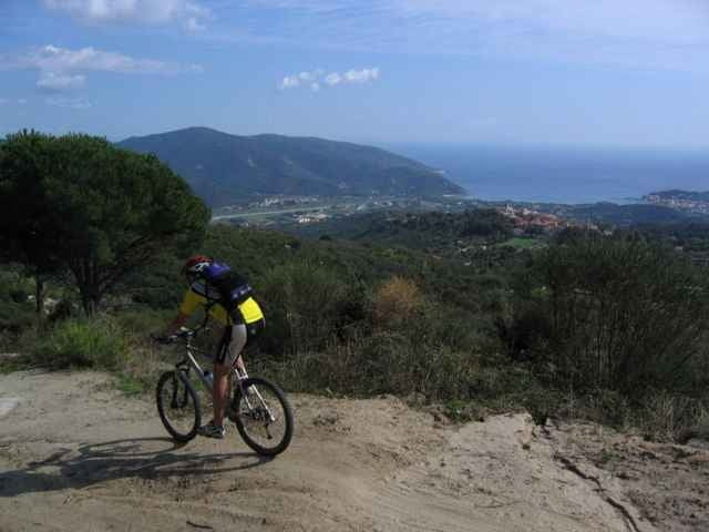
Von St. Ilario auf Sandpisten nach Poggio, eine Schleife auf Strasse nach Marciana, unter der Seilbahn durch, zurück nach Poggio und rauf zum Monte Perone. Toller Blick auf Elba. Von dort nur noch runter nach St. Ilario.
Galeria trasy
Mapa trasy i profil wysokości
Minimum height 157 m
Maximum height 612 m
Komentarze

Start am von hinter St. Ilario
GPS tracks
Trackpoints-
GPX / Garmin Map Source (gpx) download
-
TCX / Garmin Training Center® (tcx) download
-
CRS / Garmin Training Center® (crs) download
-
Google Earth (kml) download
-
G7ToWin (g7t) download
-
TTQV (trk) download
-
Overlay (ovl) download
-
Fugawi (txt) download
-
Kompass (DAV) Track (tk) download
-
Karta trasy (pdf) download
-
Original file of the author (g7t) download
Add to my favorites
Remove from my favorites
Edit tags
Open track
My score
Rate


