


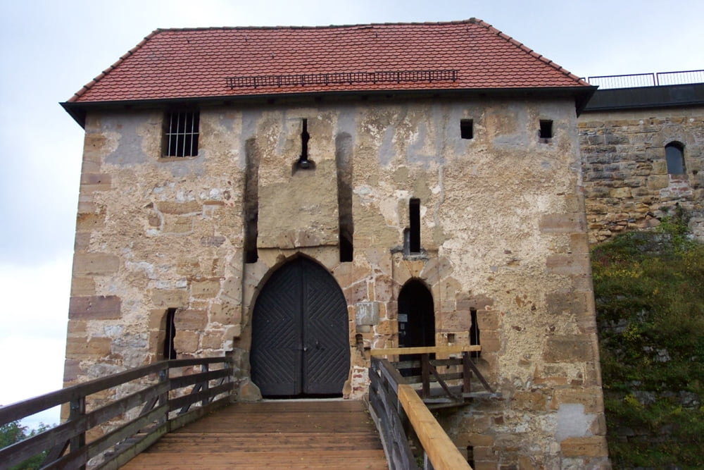
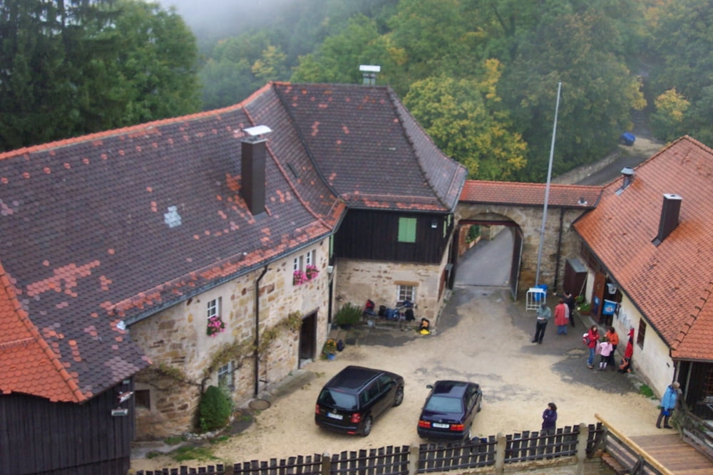
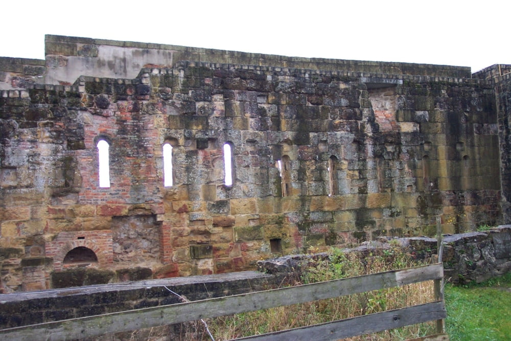
Schöne Rundwanderung mit herrlichem Ausblick vom Kaiserberg Hohenrechberg. Die Ruine ist sehenswert und kann für 1,-- Euro besichtigt werden. Im Innern ist eine Ausstellung zur Geschichte der Ruine zu bestaunen.
Übrigens: Auf der Wandertour kommt mann am Ortsende von Ottenbach direkt an einem Waldspielplatz mit Grillmöglichkeit vorbei.
Galeria trasy

Mapa trasy i profil wysokości
Minimum height 371 m
Maximum height 649 m
More about the tour author
|
|
Mondscheinradler |
Komentarze
Über B29 nach Lorch. Dann über B297 nach Wäschebeuren. Von dort über Landstraßen nach Ottenbach. Das Auto stellt man am Besten am Friedhof in Ottenbach ab.
GPS tracks
Trackpoints-
GPX / Garmin Map Source (gpx) download
-
TCX / Garmin Training Center® (tcx) download
-
CRS / Garmin Training Center® (crs) download
-
Google Earth (kml) download
-
G7ToWin (g7t) download
-
TTQV (trk) download
-
Overlay (ovl) download
-
Fugawi (txt) download
-
Kompass (DAV) Track (tk) download
-
Karta trasy (pdf) download
-
Original file of the author (gpx) download
More about the tour author
|
|
Mondscheinradler |
Add to my favorites
Remove from my favorites
Edit tags
Open track
My score
Rate
Schade!!
Die Landschaft ist sehr schön und die Burg sehr interresant.Wir haben noch zusätzlich die Wallfahrtskirche St. Maria besucht. Ein lohnender Abstecher.
Diese Tour eignet sich eher für das Trekkingrad als für die Wanderstiefel. Leider zu viele PKW und zu viel befestigte Wege.