


Paul Pfinzing Weg Teil 2:
Wir sind nicht den ganzen PP Weg von 95km gefahren.
Gestartet sind wir an der Mehrzweckhalle in Ottensoos (im Uhrzeigersinn).
Wir sind über Hersbruck nach Fischbrunn gefahren und dann in den Paul Pfinzing Weg eingestiegen.
Gute Einkehr in Alfeld im Gasthaus Zum Scharfen Eck.
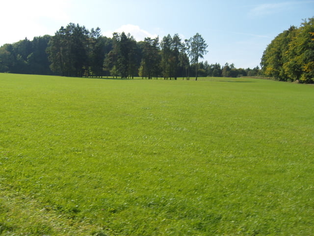
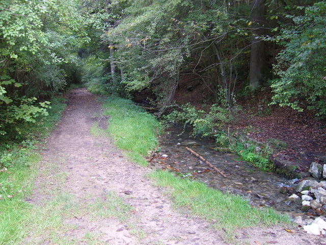
Super schöne Tour die nicht zu unterschätzen ist und kurz vor Ende mit dem Moritzberg noch eine echte Herausforderung bietet. Viel Spaß allen MTBern die es schaffen hier hochzukommen (auf dem MTB) :-))
Further information at
http://www.fraenkischer-alpverein.de/wandern/wege/wegeliste.htmGaleria trasy


Mapa trasy i profil wysokości
Minimum height 304 m
Maximum height 586 m
More about the tour author
|
|
steppenwolf |
Komentarze

Von Nürnberg kommend die A9 in Richtung Berlin, Ausfahrt Lauf/Hersbruck auf der B14 dann nach Ottensoos.
GPS tracks
Trackpoints-
GPX / Garmin Map Source (gpx) download
-
TCX / Garmin Training Center® (tcx) download
-
CRS / Garmin Training Center® (crs) download
-
Google Earth (kml) download
-
G7ToWin (g7t) download
-
TTQV (trk) download
-
Overlay (ovl) download
-
Fugawi (txt) download
-
Kompass (DAV) Track (tk) download
-
Karta trasy (pdf) download
-
Original file of the author (gpx) download
More about the tour author
|
|
steppenwolf |
Add to my favorites
Remove from my favorites
Edit tags
Open track
My score
Rate