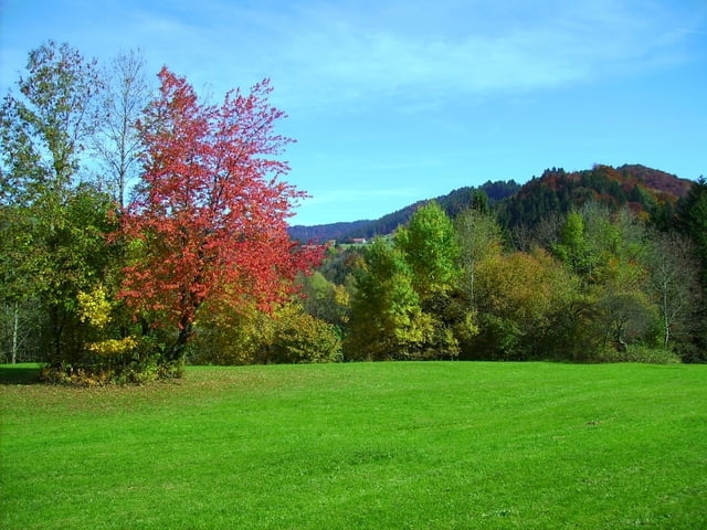
Von Oberstaufen Richtung Alpsee. In Bühl Anstieg Richtung Missen. Vorher wieder Richtung Osten. Am Niedersontofener See vorbei nach Waltenhofen. Dort zum Illerradweg und dem folgen bis Dietenheim.
Galeria trasy
Mapa trasy i profil wysokości
Minimum height 514 m
Maximum height 856 m
Komentarze
GPS tracks
Trackpoints-
GPX / Garmin Map Source (gpx) download
-
TCX / Garmin Training Center® (tcx) download
-
CRS / Garmin Training Center® (crs) download
-
Google Earth (kml) download
-
G7ToWin (g7t) download
-
TTQV (trk) download
-
Overlay (ovl) download
-
Fugawi (txt) download
-
Kompass (DAV) Track (tk) download
-
Karta trasy (pdf) download
-
Original file of the author (gpx) download
Add to my favorites
Remove from my favorites
Edit tags
Open track
My score
Rate


Strecke leider doppelt