


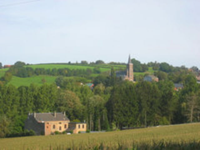
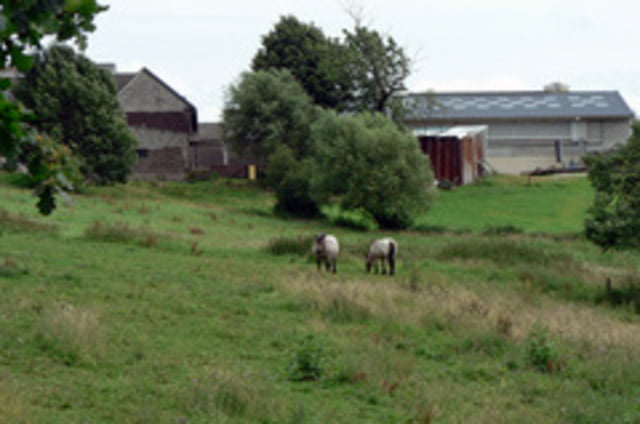
De tocht vertrekt en eindigt aan de Provinciale School Voeren in 's-Gravenvoeren. Het traject loopt quasi volledig over veldwegen en autoluwe asfaltwegen. Je doorkruist het typische Voerense landschap, met heel gevarieerde wegen, gaande van zware beklimmingen (er zijn grosso modo 5 serieuze beklimmingen), technische stukken en ook enkele gevaarlijke afdalingen.
Galeria trasy
Mapa trasy i profil wysokości
Minimum height 79 m
Maximum height 280 m
More about the tour author
|
|
-guy- |
Komentarze

's-Gravenvoeren - Hoogbos - Snauwenberg - Altembroek - Katterot - Sint-Martens-Voeren - Rullen - Saint-Jean-Sart - Val-Dieu - Aubel - Hombourg - Teuven - De Planck - Katterot - 's-Gravenvoeren
GPS tracks
Trackpoints-
GPX / Garmin Map Source (gpx) download
-
TCX / Garmin Training Center® (tcx) download
-
CRS / Garmin Training Center® (crs) download
-
Google Earth (kml) download
-
G7ToWin (g7t) download
-
TTQV (trk) download
-
Overlay (ovl) download
-
Fugawi (txt) download
-
Kompass (DAV) Track (tk) download
-
Karta trasy (pdf) download
-
Original file of the author (gpx) download
More about the tour author
|
|
-guy- |
Add to my favorites
Remove from my favorites
Edit tags
Open track
My score
Rate