
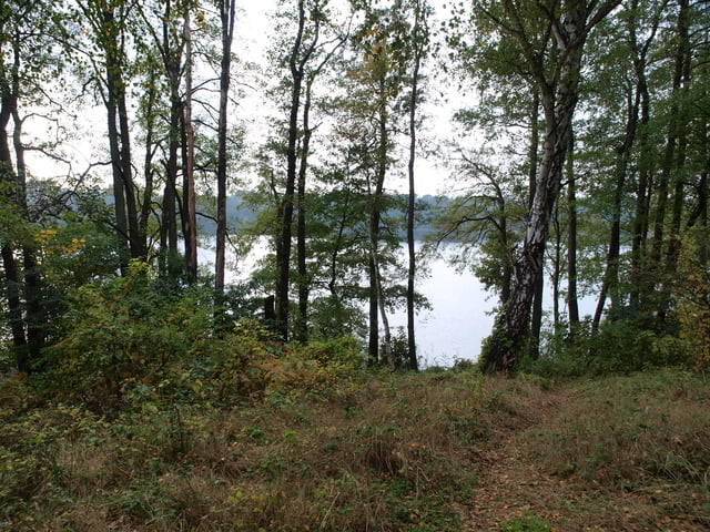

Diese Radtour führt ausgehend von Lindow an der Kramnitzer Mühle und dem Gudelacksee vorbei nach Zippelsförde. Hier kann in den Sommermonaten zum Fischimbiß eingekehrt werden aber auch geangelt werden. Weiter geht die Fahrt nach Altruppin. Hier laden verschieden Gaststätten zu einem Imbiß ein. Die Radtour führt zu einer Gaststätte. Von hier aus geht es zum Altruppiner Bahnhof. Hier folgt ein Feldweg den Bahngleisen, der aber abrupt endet. Man muss das Bahngleis überqueren und gelangt auf der anderen Seite über ein Feld den Bahngleisen folgend wieder auf einen befahrbaren Weg. Dieser Weg führt durch die herrliche märkische Wald- und Seenlandschaft vorbei an dem abgelegenen Tholmansee über Gühlen am Gudelacksee zurück nach Lindow.
Galeria trasy

Mapa trasy i profil wysokości
Minimum height -28 m
Maximum height 56 m
More about the tour author

|
berndpm |
Komentarze

GPS tracks
Trackpoints-
GPX / Garmin Map Source (gpx) download
-
TCX / Garmin Training Center® (tcx) download
-
CRS / Garmin Training Center® (crs) download
-
Google Earth (kml) download
-
G7ToWin (g7t) download
-
TTQV (trk) download
-
Overlay (ovl) download
-
Fugawi (txt) download
-
Kompass (DAV) Track (tk) download
-
Karta trasy (pdf) download
-
Original file of the author (gpx) download
More about the tour author
|
|
berndpm |
Add to my favorites
Remove from my favorites
Edit tags
Open track
My score
Rate