
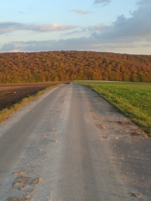

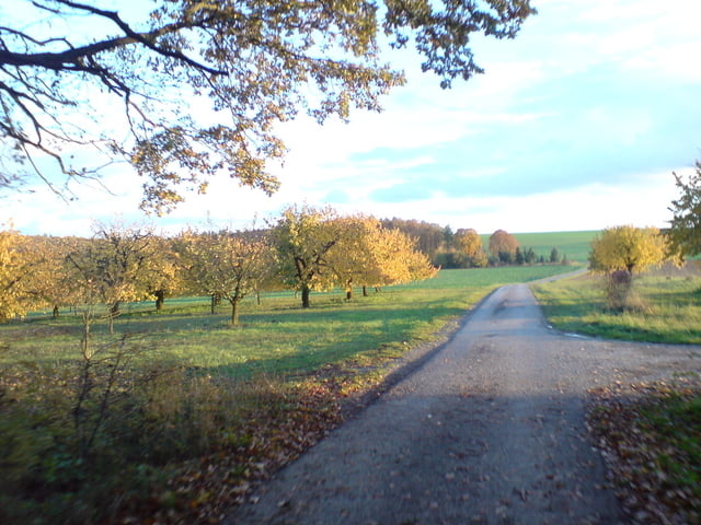
Schönes Unterfranken. Wie immer starten wir in Höchberg und fahren die Kaiserstraße nach Waldbüttelbrunn. Von dort aus Richtung Hettstadt (ein kurzes Stück auf der Straße). Nach dem Kreisverkehr links abbiegen und 200m danach links in den Feldweg Richtung Einsiedlerhof. Dort auf dem Flurweg immer gerade aus - an den Windrädern vorbei - runter nach Leinach (alles Flurweg). Durch Leinach durch bis man die ICE-Trasse sieht. Vorher links hoch Richtung Greußenheim. Von Greußenheim dann Richtung Üttingen auf den Radweg. Aber auf dem Radweg nicht nach Üttingen abbiegen, sondern Richtung Waldbüttelbrunn Höchberg.
Further information at
http://www.oehring.net/hexenbruch/07.htmlGaleria trasy


Mapa trasy i profil wysokości
Minimum height 182 m
Maximum height 355 m
More about the tour author

|
Lummi-Maus |
Komentarze

GPS tracks
Trackpoints-
GPX / Garmin Map Source (gpx) download
-
TCX / Garmin Training Center® (tcx) download
-
CRS / Garmin Training Center® (crs) download
-
Google Earth (kml) download
-
G7ToWin (g7t) download
-
TTQV (trk) download
-
Overlay (ovl) download
-
Fugawi (txt) download
-
Kompass (DAV) Track (tk) download
-
Karta trasy (pdf) download
-
Original file of the author (gpx) download
More about the tour author
|
|
Lummi-Maus |
Add to my favorites
Remove from my favorites
Edit tags
Open track
My score
Rate