Login

Zapomniałeś swój login?

Cookies have to be accepted!
Your browser's cookie functionality is disabled. Please enable this functionality.

Not a member yet?

Register now
Login

Available for registred users only

Log in to use this feature.

Zapomniałeś swój login?

Cookies have to be accepted!
Your browser's cookie functionality is disabled. Please enable this functionality.

Not a member yet?

Register now
Filter
Kategorie
Advanced filters
  • Długość (km)
  • Wysokość
Zapisz filtr Reset filter

TrackRank

QRCode

Technical data

Długość41,5 km Wysokość217 m Way down229 m Czas trwania03:00 h:m Data19.10.2008
Oceny Author User Krajobraz Czynnik zadowolenia Kondycja Technika

Statystyka

635 Widoki 4 Oceny 64 Downloads / Pliki do pobrania 5.00 Przeciętnie
Rate
  • Karta trasy
  • Dojazd
  • Downloads / Pliki do pobrania

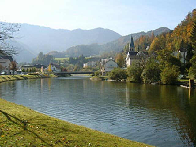
Gemütliche Radtour in herrlicher Landschaft im Nationalpark Kalkalpen. Am "Wendepunkt" kann noch der "Triftsteig" gegangen/geklettert werden. Dazu sind jedoch Bergschuhe bzw. Kletterschuhe und evtl. eine Kletterausrüstung nötig, also für ungeübte nicht zu empfehlen.

Weitere Info´s siehe link

Further information at

http://www.wandern.at/wanderwege/bergsteigen/572301/Der-Triftsteig-durch-die-grosse-Schlucht.html

Galeria trasy

Mapa trasy i profil wysokości

  • Open Street Map
  • Google
Minimum height 343 m Maximum height 542 m Widok szczegółowy

More about the tour author

michwies
Member since 2008

Send private message

Komentarze

GPS tracks

Trackpoints
  • GPX / Garmin Map Source (gpx) download
  • TCX / Garmin Training Center® (tcx) download
  • CRS / Garmin Training Center® (crs) download
  • Google Earth (kml) download
  • G7ToWin (g7t) download
  • TTQV (trk) download
  • Overlay (ovl) download
  • Fugawi (txt) download
  • Kompass (DAV) Track (tk) download
  • Karta trasy (pdf) download
  • Original file of the author (gpx) download

More about the tour author

michwies
Member since 2008

Send private message
Share track
Add to my favorites
Remove from my favorites
Edit tags
My score
Rate
Trasa: Reichramingerbach (+Triftsteig)
Rodzaj: Trasy rowerowe
Długość: 41,5 km
Evaluated on:
Czas trwania:
Day(s)
Hour(s)
Minute(s)
Ocena: Krajobraz Czynnik zadowolenia Kondycja Technika