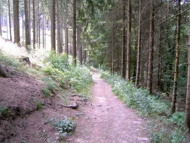
Schöne Rundwanderung entlang der Wupper und des Murbaches durch eine abwechselungsreiche Landschaft aus Wiesen ,Feldern und Wäldern.
Mapa trasy i profil wysokości
Minimum height 99999 m
Maximum height 2147483647 m
Komentarze

Für Autofahrer : Leichlingen wird über die Ausfahrten Opladen oder Solingen der A3 erreicht
Für ÖPNV-Wanderer : Bahnhof Leichlingen an der DB-Strecke Köln - Hagen
Für ÖPNV-Wanderer : Bahnhof Leichlingen an der DB-Strecke Köln - Hagen
GPS tracks
Trackpoints-
GPX / Garmin Map Source (gpx) download
-
TCX / Garmin Training Center® (tcx) download
-
CRS / Garmin Training Center® (crs) download
-
Google Earth (kml) download
-
G7ToWin (g7t) download
-
TTQV (trk) download
-
Overlay (ovl) download
-
Fugawi (txt) download
-
Kompass (DAV) Track (tk) download
-
Karta trasy (pdf) download
-
Original file of the author (g7t) download
Add to my favorites
Remove from my favorites
Edit tags
Open track
My score
Rate


