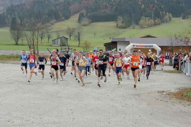
Dieser jährlich im Oktober stattfindende Halbmarathonlauf mit ca. 100 Teilnehmern führt über schöne Waldwege und durch kleine Dörfer einmal rund um die Buchensteinwand zurück zum Ausgangspunkt - der Talstation Buchensteinwandbahn. Zwei Steigungen im ersten bzw. letzten Streckenteil stellen eine Herausforderung dar; zum grössten Teil geht es jedoch geradeaus bzw. leicht bergab.
Further information at
http://www.pillerseebiker.atGaleria trasy
Mapa trasy i profil wysokości
Minimum height 795 m
Maximum height 987 m
Komentarze

Von Kitzbühel/St. Johann in Richtung St. Ulrich am Pillersee. Grosser Parkplatz bei der Talstation der Buchensteinwandbahn (Hinweistafel).
GPS tracks
Trackpoints-
GPX / Garmin Map Source (gpx) download
-
TCX / Garmin Training Center® (tcx) download
-
CRS / Garmin Training Center® (crs) download
-
Google Earth (kml) download
-
G7ToWin (g7t) download
-
TTQV (trk) download
-
Overlay (ovl) download
-
Fugawi (txt) download
-
Kompass (DAV) Track (tk) download
-
Karta trasy (pdf) download
-
Original file of the author (gpx) download
Add to my favorites
Remove from my favorites
Edit tags
Open track
My score
Rate


