


Dies ist im Wesentlichen die gleiche Tour - wie ich sie in 2 Etappen bereits eingestellt habe. Aber es ist die Tour die ich seit 5 Jahren (Sommer wie Winter) jedes Wochenende zu Trainingszwecken einmal fahre. Ausnahme nur bei Schneehöhen größer 15 cm - da fahre ich eine ähnliche Strecke mit Rennrad od. Treckingrad - teilweise mit Spikes - auf gut geräumten Straßen. Im Frühjahr bei den ersten Sonnenstrahlen lockt natürlich das Rennrad, da man da von der Sonne wesentlich mehr abbekommt als in den Wäldern mit dem Mountainbike. Täglich mit dem Rad zur Arbeit (ca. 14 km), 2 x wöchentlich ein Kraftraining im Studio und am Wochenende diese Tour, ist das optimale Training, um gesund und fitt im Alter zu bleiben. Viel Spaß beim Training!
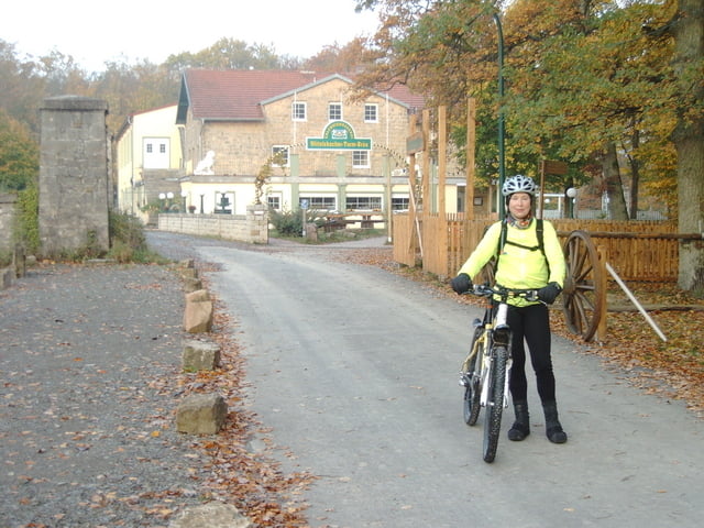
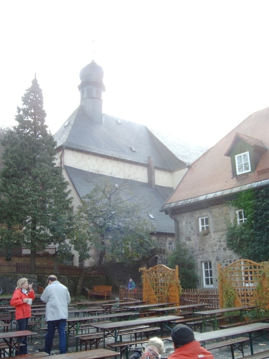
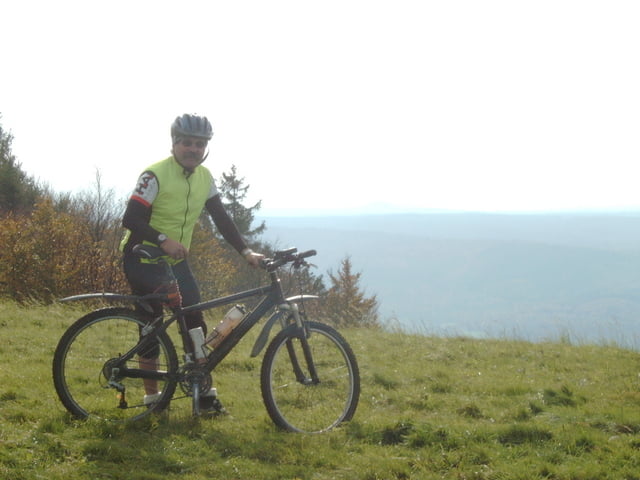
Galeria trasy

Mapa trasy i profil wysokości
Minimum height 186 m
Maximum height 868 m
More about the tour author
|
|
Lehmeyer |
Komentarze

Werneck liegt im Autobahnknotenpunkt der A7 / A70 / A71 im Zentrum Deutschlands
GPS tracks
Trackpoints-
GPX / Garmin Map Source (gpx) download
-
TCX / Garmin Training Center® (tcx) download
-
CRS / Garmin Training Center® (crs) download
-
Google Earth (kml) download
-
G7ToWin (g7t) download
-
TTQV (trk) download
-
Overlay (ovl) download
-
Fugawi (txt) download
-
Kompass (DAV) Track (tk) download
-
Karta trasy (pdf) download
-
Original file of the author (gpx) download
More about the tour author
|
|
Lehmeyer |
Add to my favorites
Remove from my favorites
Edit tags
Open track
My score
Rate