

Diese Tour ist eine Adaption der Tour Nr. 18 von Ingo Rendel, mit Ausgangs- und Endpunkt in Linz.
Zuerst gehts über den Diesenleitenweg rauf, bevor wir links über den traumhaften Bleicherbachweg nach Ottensheim abbiegen. Von Ottensheim gehts nach Rotteneck und von dort über das Rodeltal rauf auf die Gis.
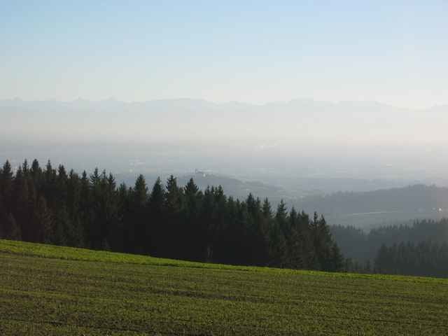
Das letzte Stück runter nach Linz ist ein traumhafter Trail, den wahrscheinlich nur die wenigsten kennen - diesen Non-Stop Downhill kann ich jedem nur empfehlen.
Zuerst gehts über den Diesenleitenweg rauf, bevor wir links über den traumhaften Bleicherbachweg nach Ottensheim abbiegen. Von Ottensheim gehts nach Rotteneck und von dort über das Rodeltal rauf auf die Gis.
Das letzte Stück runter nach Linz ist ein traumhafter Trail, den wahrscheinlich nur die wenigsten kennen - diesen Non-Stop Downhill kann ich jedem nur empfehlen.
Mapa trasy i profil wysokości
Minimum height 253 m
Maximum height 906 m
More about the tour author

|
Komentarze

Abfahrt ist in Linz Harbach.
GPS tracks
Trackpoints-
GPX / Garmin Map Source (gpx) download
-
TCX / Garmin Training Center® (tcx) download
-
CRS / Garmin Training Center® (crs) download
-
Google Earth (kml) download
-
G7ToWin (g7t) download
-
TTQV (trk) download
-
Overlay (ovl) download
-
Fugawi (txt) download
-
Kompass (DAV) Track (tk) download
-
Karta trasy (pdf) download
More about the tour author
|
|
Add to my favorites
Remove from my favorites
Edit tags
Open track
My score
Rate