


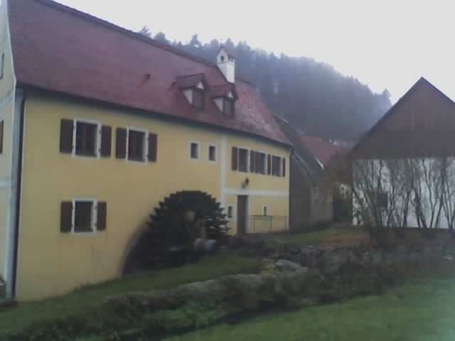
Die Tour begint am Bahnhof Neukirchen. Du fährst zunächst auf dem Radweg nach Etzelwang, danach auf einem Feldweg zwischen Brennberg und Kappenberg hindurch nach Erkelsdorf und weiter nach Pilgramshof, von hier über den Brummberg nach Högen, dem blauer-Punkt-auf-weißem-Grund Wanderweg folgen bis zur Burgruine Lichtenegg. Dann gehts den Kronberg hoch zum 607m hohen Türkenfelsen. Auf dem Radweg nach Tannlohe, dann dem rotes-Kreuz-auf-weißem-Grund Wanderweg folgen bis Rothsricht. Auf der sehr wenig befahrenen Straße bis Hackern, über den Hackerberg nach Mörswinkel, Seibertshof, über den Lausberg nach Ödputzberg, Illschwang. Dem Radweg Nr8 bis Amberg folgen.
Galeria trasy

Mapa trasy i profil wysokości
Minimum height 373 m
Maximum height 606 m
More about the tour author
|
|
vollgang |
Komentarze

Mit dem Zug nach Neukirchen bei Su-Ro
GPS tracks
Trackpoints-
GPX / Garmin Map Source (gpx) download
-
TCX / Garmin Training Center® (tcx) download
-
CRS / Garmin Training Center® (crs) download
-
Google Earth (kml) download
-
G7ToWin (g7t) download
-
TTQV (trk) download
-
Overlay (ovl) download
-
Fugawi (txt) download
-
Kompass (DAV) Track (tk) download
-
Karta trasy (pdf) download
-
Original file of the author (gpx) download
More about the tour author
|
|
vollgang |
Add to my favorites
Remove from my favorites
Edit tags
Open track
My score
Rate