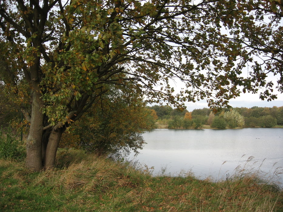
Flache Tour. Trockene Tage abwarten. An einer Stelle ca. 100 Meter schieben, weil die Pferde mit ihren Hufen den Torfpfad umgewühlt haben. Empfehlenswerte Richtung: links herum im Uhrzeigersinn zunächst durch den Stadtpark. Autobahngeräusche als Sturmwind interpretieren. Künstliche Verlängerung durch Zick-Zack-Wege lassen sich abkürzen. In Bahnhofsnähe Gaststätten, Imbiss und Hallenfreibad. Akzeptabele Entferung zur Autowaschanlage, um das MTB zu säubern.
Galeria trasy
Mapa trasy i profil wysokości
Minimum height 41 m
Maximum height 82 m
Komentarze
Burgdorf, S-Bahnhof. Kostenlose Parkplätze im Parkhaus. Radmitnahme im Zug zeitweise kostenfrei.
GPS tracks
Trackpoints-
GPX / Garmin Map Source (gpx) download
-
TCX / Garmin Training Center® (tcx) download
-
CRS / Garmin Training Center® (crs) download
-
Google Earth (kml) download
-
G7ToWin (g7t) download
-
TTQV (trk) download
-
Overlay (ovl) download
-
Fugawi (txt) download
-
Kompass (DAV) Track (tk) download
-
Karta trasy (pdf) download
-
Original file of the author (gpx) download
Add to my favorites
Remove from my favorites
Edit tags
Open track
My score
Rate


Fazit