Login

Zapomniałeś swój login?

Cookies have to be accepted!
Your browser's cookie functionality is disabled. Please enable this functionality.

Not a member yet?

Register now
Login

Available for registred users only

Log in to use this feature.

Zapomniałeś swój login?

Cookies have to be accepted!
Your browser's cookie functionality is disabled. Please enable this functionality.

Not a member yet?

Register now
Filter
Kategorie
Advanced filters
  • Długość (km)
  • Wysokość
Zapisz filtr Reset filter

TrackRank

QRCode

Technical data

Długość27,9 km Wysokość767 m Way down755 m Czas trwania00:00 h:m Data27.10.2008
Oceny Author Krajobraz Czynnik zadowolenia Kondycja Technika

Statystyka

675 Widoki Oceny 148 Downloads / Pliki do pobrania Przeciętnie
Rate
  • Karta trasy
  • Dojazd
  • Downloads / Pliki do pobrania

Von Freiburg geht`s  hinauf nach Horben,dann durchs Katzental zum eigentlichen Ziel....

"Das Hexental"......aber keine Angst....wir haben keine "echten" Hexen gesehen;-)

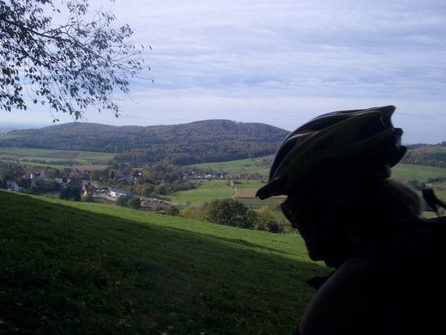
nur schöne Ausblicke....ab Ehrenkirchen kann man gemütlich auf dem Markgräflerradweg zurück

nach Freiburg rollen....oder wer will und kann....durch die Weinberge zurück "flowen"

viel spaß beim nachfahren....

Mapa trasy i profil wysokości

  • Open Street Map
  • Google
Minimum height 263 m Maximum height 626 m Widok szczegółowy

More about the tour author

Taff
Member since 2008

Send private message

Komentarze

GPS tracks

Trackpoints
  • GPX / Garmin Map Source (gpx) download
  • TCX / Garmin Training Center® (tcx) download
  • CRS / Garmin Training Center® (crs) download
  • Google Earth (kml) download
  • G7ToWin (g7t) download
  • TTQV (trk) download
  • Overlay (ovl) download
  • Fugawi (txt) download
  • Kompass (DAV) Track (tk) download
  • Karta trasy (pdf) download
  • Original file of the author (gpx) download

More about the tour author

Taff
Member since 2008

Send private message
Share track
Add to my favorites
Remove from my favorites
Edit tags
My score
Rate
Trasa: Hexental at it`s best
Rodzaj: Rower górski (MTB)
Długość: 27,9 km
Evaluated on:
Czas trwania:
Day(s)
Hour(s)
Minute(s)
Ocena: Krajobraz Czynnik zadowolenia Kondycja Technika