Von Wengern aus durch das Muttental, der Wiege des Deutschen Steinkohlenbergbaus.
Interessante und lehrreiche Wanderung durch das Gebiet des historischen Steinkohlenbergbaus an der Ruhr.
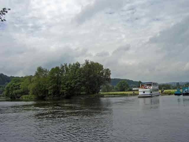
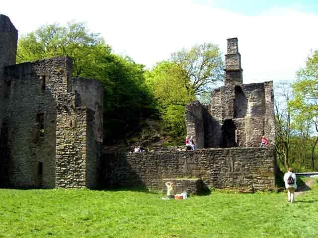
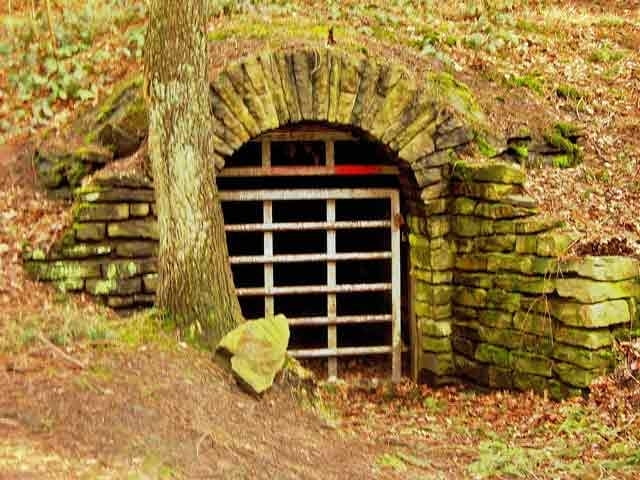
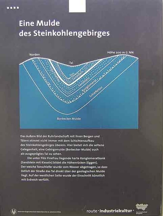
Der Wanderweg führt von Wengern aus durch das urwüchsige Elbschetal, das romantische Muttental und durch das Gebiet des
alten Steinkohlenbergbaus.- An der Ruhr entlang und an Schloss Steinhausen vorbei geht es nach Wengern zurückFurther information at
http://www.sgv-aplerbeck.de/Galeria trasy
Mapa trasy i profil wysokości
Minimum height 99999 m
Maximum height -99999 m
Komentarze
GPS tracks
Trackpoints-
GPX / Garmin Map Source (gpx) download
-
TCX / Garmin Training Center® (tcx) download
-
CRS / Garmin Training Center® (crs) download
-
Google Earth (kml) download
-
G7ToWin (g7t) download
-
TTQV (trk) download
-
Overlay (ovl) download
-
Fugawi (txt) download
-
Kompass (DAV) Track (tk) download
-
Karta trasy (pdf) download
-
Original file of the author (gpx) download
Add to my favorites
Remove from my favorites
Edit tags
Open track
My score
Rate


Schöne Runde