Login

Zapomniałeś swój login?

Cookies have to be accepted!
Your browser's cookie functionality is disabled. Please enable this functionality.

Not a member yet?

Register now
Login

Available for registred users only

Log in to use this feature.

Zapomniałeś swój login?

Cookies have to be accepted!
Your browser's cookie functionality is disabled. Please enable this functionality.

Not a member yet?

Register now
Filter
Kategorie
Advanced filters
  • Długość (km)
  • Wysokość
Zapisz filtr Reset filter

TrackRank

QRCode

Technical data

Długość50,2 km Wysokość525 m Way down528 m Czas trwania03:15 h:m Data16.11.2008
Oceny Author Krajobraz Czynnik zadowolenia Kondycja Technika

Statystyka

878 Widoki Oceny 185 Downloads / Pliki do pobrania Przeciętnie
Rate
  • Karta trasy
  • Dojazd
  • Downloads / Pliki do pobrania
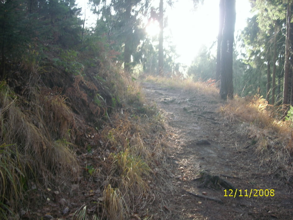
Tour führt von Marl aus, an Flaesheim vorbei, über den Dachsberg, Baggersee, Wesel-Datteln-Kanal und über den Stimberg mit einigen Höhenmetern.

Galeria trasy

Mapa trasy i profil wysokości

  • Open Street Map
  • Google
Minimum height 42 m Maximum height 134 m Widok szczegółowy

More about the tour author

bikeman-c
Member since 2008

Send private message

Komentarze

schulenburg on 02.06.2009

Landschaftliche schöne Tour, abseits der vollen Radwege, technisch einfach, kann auch mit Treckingrad gefahren werden. Mehrer Gaststätten am Wege. In abgekürzter Form auch für Kidner geeignet.

GPS tracks

Trackpoints
  • GPX / Garmin Map Source (gpx) download
  • TCX / Garmin Training Center® (tcx) download
  • CRS / Garmin Training Center® (crs) download
  • Google Earth (kml) download
  • G7ToWin (g7t) download
  • TTQV (trk) download
  • Overlay (ovl) download
  • Fugawi (txt) download
  • Kompass (DAV) Track (tk) download
  • Karta trasy (pdf) download
  • Original file of the author (gpx) download

More about the tour author

bikeman-c
Member since 2008

Send private message
Share track
Add to my favorites
Remove from my favorites
Edit tags
My score
Rate
Trasa: Runde durch die Haard
Rodzaj: Rower górski (MTB)
Długość: 50,2 km
Evaluated on:
Czas trwania:
Day(s)
Hour(s)
Minute(s)
Ocena: Krajobraz Czynnik zadowolenia Kondycja Technika