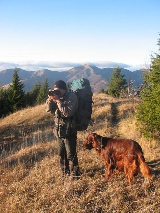
Nizna Revuca - vrch Zvolen - - Krizna - Kysky - - Ploska - Vysna Revuca. Photos see http://zbartos.rajce.idnes.cz/VHT_Velka_Fatra_15.-17._11._2008/ .
Galeria trasy
Mapa trasy i profil wysokości
Minimum height 231 m
Maximum height 1594 m
Komentarze
GPS tracks
Trackpoints-
GPX / Garmin Map Source (gpx) download
-
TCX / Garmin Training Center® (tcx) download
-
CRS / Garmin Training Center® (crs) download
-
Google Earth (kml) download
-
G7ToWin (g7t) download
-
TTQV (trk) download
-
Overlay (ovl) download
-
Fugawi (txt) download
-
Kompass (DAV) Track (tk) download
-
Karta trasy (pdf) download
-
Original file of the author (gpx) download
Add to my favorites
Remove from my favorites
Edit tags
Open track
My score
Rate


total climbing
total climbing - 2400 m
total descending - 2360 m
More informations from my GPS device:
nett time of walking - cca 10:36 hours
waiting time - cca 5:47 hours
gross time of the trip: 16:23 hours
average speed of walking - 3,3 km/hour