Login

Zapomniałeś swój login?

Cookies have to be accepted!
Your browser's cookie functionality is disabled. Please enable this functionality.

Not a member yet?

Register now
Login

Available for registred users only

Log in to use this feature.

Zapomniałeś swój login?

Cookies have to be accepted!
Your browser's cookie functionality is disabled. Please enable this functionality.

Not a member yet?

Register now
Filter
Kategorie
Advanced filters
  • Długość (km)
  • Wysokość
Zapisz filtr Reset filter

TrackRank

QRCode

Technical data

Długość35,9 km Wysokość755 m Way down720 m Czas trwania03:00 h:m Data24.11.2008
Oceny Author Krajobraz Czynnik zadowolenia Kondycja Technika

Statystyka

420 Widoki Oceny 113 Downloads / Pliki do pobrania Przeciętnie
Rate
  • Karta trasy
  • Dojazd
  • Downloads / Pliki do pobrania
Lohnende Runde durch den Wienerwald.

Mapa trasy i profil wysokości

  • Open Street Map
  • Google
Minimum height 180 m Maximum height 504 m Widok szczegółowy

More about the tour author

priewasser
Member since 2006

Send private message

Komentarze

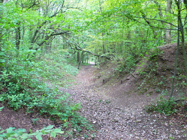
Die Route startet auf einem Parkplatz in der Nähe des Hütteldorfer Bahnhofs und endet auch dort. Der Startpunkt ist sehr gut öffentlich mit der U-Bahn (U4 Endstation Hütteldorf) oder mit der S-Bahn erreichbar.

GPS tracks

Trackpoints
  • GPX / Garmin Map Source (gpx) download
  • TCX / Garmin Training Center® (tcx) download
  • CRS / Garmin Training Center® (crs) download
  • Google Earth (kml) download
  • G7ToWin (g7t) download
  • TTQV (trk) download
  • Overlay (ovl) download
  • Fugawi (txt) download
  • Kompass (DAV) Track (tk) download
  • Karta trasy (pdf) download
  • Original file of the author (gpx) download

More about the tour author

priewasser
Member since 2006

Send private message
Share track
Add to my favorites
Remove from my favorites
Edit tags
My score
Rate
Trasa: Tublingerkogel
Rodzaj: Rower górski (MTB)
Długość: 35,9 km
Evaluated on:
Czas trwania:
Day(s)
Hour(s)
Minute(s)
Ocena: Krajobraz Czynnik zadowolenia Kondycja Technika