


Schöne, länderübergreifende Rundtour durch bergige Waldlandschaften mit allerlei Sehenswürdikeiten.
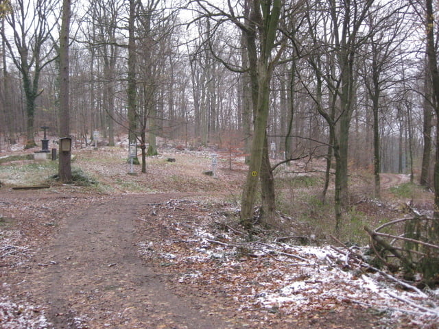
Beginn ist in Heppenheim am Friedhof. Im Anschluss geht´s dann durch den Wald Richtung "Juhöhe". Von dort führt es uns über den "Kreuzberg" in Richtung Hemsbach. Vorbei an einem Waldfriedhof und alten Burggemäuern begeben wir uns schließlich wieder auf Waldwegen durch tolle Landschaften zurück in Richtung Heppenheim.
Galeria trasy


Mapa trasy i profil wysokości
Minimum height 99999 m
Maximum height -99999 m
More about the tour author

|
Aesculap |
Komentarze

Von der Autobahn runter nach Heppenheim. Richtung Heppenheim Innenstadt. In Heppenheim halten wir uns Richtung Weinheim. Kurz vor dem Ortsausgang biegen wir links in Richtung "Juhöhe" ab. Nach etwa 100 Metern gehts rechts ab auf einen Parkplatz am Friedhof. Hier ist gleichzeitig Start & Endpunkt.
GPS tracks
Trackpoints-
GPX / Garmin Map Source (gpx) download
-
TCX / Garmin Training Center® (tcx) download
-
CRS / Garmin Training Center® (crs) download
-
Google Earth (kml) download
-
G7ToWin (g7t) download
-
TTQV (trk) download
-
Overlay (ovl) download
-
Fugawi (txt) download
-
Kompass (DAV) Track (tk) download
-
Karta trasy (pdf) download
-
Original file of the author (gpx) download
More about the tour author
|
|
Aesculap |
Add to my favorites
Remove from my favorites
Edit tags
Open track
My score
Rate