


Bray-Greystone-Bray
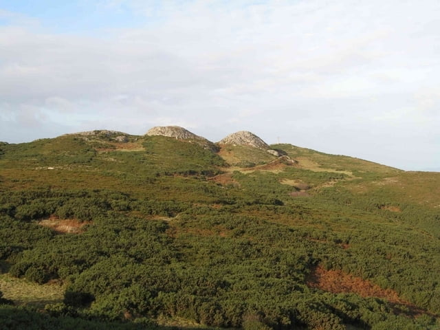
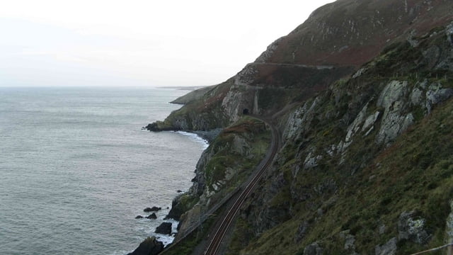
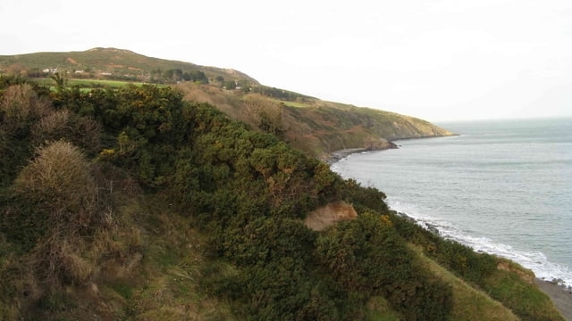
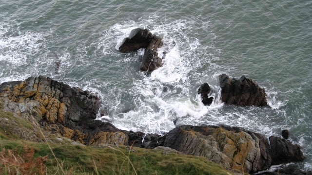
Ihr geht in Bray entlang des Strandes nach Süden und seht dann bereits das Gipfelkreuz von Bray Head (206 m üNN). Hier habt ihr auch den steilsten Anstieg und werdet dafür mit einem genialen Ausblick über die Küste vor Dublin belohnt. Danach geht es über leicht hügeliges Gelände bis hin zur Nationalstraße R761 (Bray-Greystone). Bis hier könnt ihr oftmals das Panorama genießen (fototauglich). Nachdem ihr die doch stärker befahrene Straße gequert habt, folgt ihr der Nebenstraße nach Templecarrig. Diese ist nur wenig befahren und führt durch eine bewaldetes Gebiet mit altem Baumbestand. Am Abzweig nach Templecarrig haltet ihr euch links, folgt der Straße weiter nach Greystone und kreuzt wiederum die Nationalstraße. In Greystone geht ihr nun bis zur Küste und biegt dann nach Norden ab. Der Trampelpfad führt euch an der Steilküste entlang bis nach Bray, wo ihr dann ja irgend einkehren könnt. Für die Wanderung benötigt ihr ca. 3 Stunden.
Viel Spaß dabei, Markus.
Further information at
http://www.braytourism.ie/Galeria trasy
Mapa trasy i profil wysokości
Minimum height 2 m
Maximum height 210 m
More about the tour author
|
|
Rehacker |
Komentarze

Mit der Dart (eine Art S-Bahn) fahrt ihr von Dublin nach Bray. In Bray geht ihr dann zum Kiesstrand und orientiert euch in südlicher Richtung.
GPS tracks
Trackpoints-
GPX / Garmin Map Source (gpx) download
-
TCX / Garmin Training Center® (tcx) download
-
CRS / Garmin Training Center® (crs) download
-
Google Earth (kml) download
-
G7ToWin (g7t) download
-
TTQV (trk) download
-
Overlay (ovl) download
-
Fugawi (txt) download
-
Kompass (DAV) Track (tk) download
-
Karta trasy (pdf) download
-
Original file of the author (gpx) download
More about the tour author
|
|
Rehacker |
Add to my favorites
Remove from my favorites
Edit tags
Open track
My score
Rate