


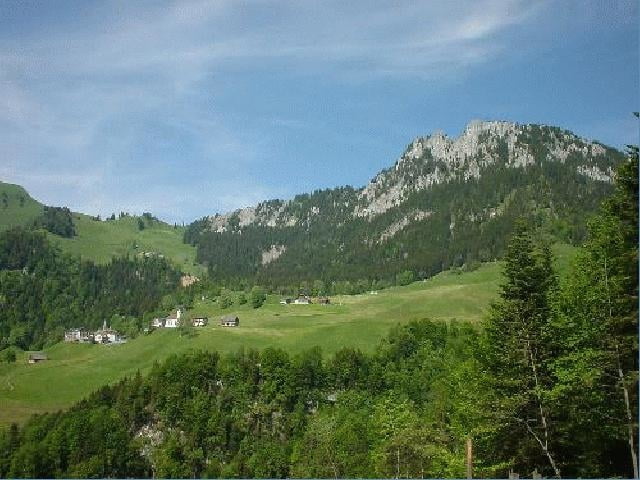
Für technisch nicht so versierte Fahrer ideale Tour. Vor allem die Strecke zwischen Gibel und Niederrickenbach entlöhnt den relativ langen Anstieg entlang der Asphaltstrasse. Die Steigung ist jedoch gut fahrbar und lässt den Blick frei auf die herrliche Landschaft rund um Stans. Für die technische Herausforderung sorgen die Bergwegpassagen zwischen den Abfahrtskurven.
Zusätzliche Infos zur Tour gibts hier.
Zusätzliche Infos zur Tour gibts hier.
Further information at
http://www.mtb.tourfinder.netGaleria trasy
Mapa trasy i profil wysokości
Minimum height 507 m
Maximum height 1212 m
More about the tour author

|
Komentarze

GPS tracks
Trackpoints-
GPX / Garmin Map Source (gpx) download
-
TCX / Garmin Training Center® (tcx) download
-
CRS / Garmin Training Center® (crs) download
-
Google Earth (kml) download
-
G7ToWin (g7t) download
-
TTQV (trk) download
-
Overlay (ovl) download
-
Fugawi (txt) download
-
Kompass (DAV) Track (tk) download
-
Karta trasy (pdf) download
-
Original file of the author (g7t) download
More about the tour author
|
|
Add to my favorites
Remove from my favorites
Edit tags
Open track
My score
Rate